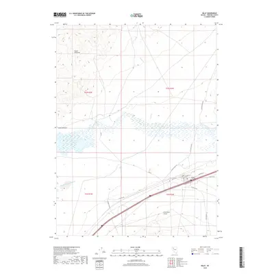
2018 Map of Imlay
USGS Topo · Published 2018About this map
Imlay stands as the primary hub of activity in this Pershing County landscape, situated where modern transport corridors meet remnants of older western routes. The town is marked by its Po and a network of local streets such as Pacific Ave and Commerce Rd. The hydrological character of the region is defined by the Humboldt River, which feeds into the Rye Patch Reservoir, and the engineered flow of the Pitt-Taylor Diversion Canal. To the north, the terrain rises into the Eugene Mountains, drained by Dry Cr and Lander Cr. Historical transit paths are still visible, notably the Old Idaho Stage Rd, which cuts across the high ground east of the river. The southern portion of the quadrangle is punctuated by the deep cleft of Prince Royal Canyon and ranch access ways like Flying M Ranch Rd.
Find a feature on this map
27 named features on this map. Tap any name to fly to it.
Don’t see what you’re looking for? This feature index may not catch every label — zoom into the map to look around manually.
Map Details
Editions of this 2018 Imlay Map
This is the sole edition of this map. No revisions or reprints were ever made.
Other maps of this area
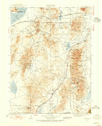
1931 · Lovelock
USGS Topo · 1:250,000
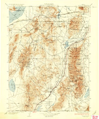
1935 · Lovelock
USGS Topo · 1:250,000
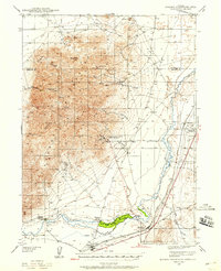
1939 · Eugene Mountains Area
USGS Topo · 1:62,500
1942 · Eugene Mountains Area
USGS Topo · 1:62,500
1955 · Lovelock
USGS Topo · 1:250,000
1956 · Imlay
USGS Topo · 1:62,500
1959 · Lovelock
USGS Topo · 1:250,000
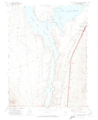
1971 · Rye Patch Reservoir South
USGS Topo · 1:24,000
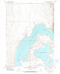
1971 · Rye Patch Reservoir North
USGS Topo · 1:24,000
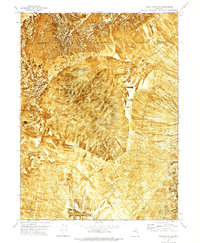
1971 · Alpha Mountain
USGS Topo · 1:24,000