
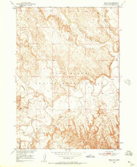
1950 Map of Imlay SW
USGS Topo · Published 1952About this map
The White River carves a complex, meandering path across this landscape within the Pine Ridge Indian Reservation. This 1950 field check document shows a terrain defined by deep erosional cuts and drainage systems, including the notable Big Hollow Creek and Wind Creek to the north. The survey was conducted as part of the Department of the Interior's Missouri River Basin development program, recording the topography just before the mid-century's major hydrological shifts in the region. For local historians and genealogists, the map identifies specific landmarks like the St Mary Magdalene Cem located near the southern bends of the river, along with tributary junctions at Cottonwood Creek and Porcupine Cr. The intricate contour lines illustrate the stark contrast between the flat river bottoms and the sharply dissected uplands characteristic of this portion of South Dakota.
Find a feature on this map
8 named features on this map. Tap any name to fly to it.
Don’t see what you’re looking for? This feature index may not catch every label — zoom into the map to look around manually.
Map Details
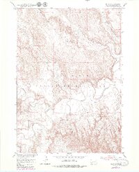
Editions of this 1950 Imlay SW Map
3 editions found
Other maps of this area

1950 · Sheep Mountain Table
USGS Topo · 1:24,000

1950 · Stirk Table
USGS Topo · 1:24,000

1950 · Imlay
USGS Topo · 1:24,000

1950 · Imlay SE
USGS Topo · 1:24,000

1950 · Bouquet Table
USGS Topo · 1:24,000

1951 · Sharps Corner
USGS Topo · 1:24,000

1951 · Rockyford
USGS Topo · 1:24,000

1952 · Bouquet Table
USGS Topo · 1:24,000

1955 · Hot Springs
USGS Topo · 1:250,000

1981 · Wall
USGS Topo · 1:100,000