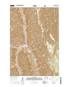
2014 Map of Imnaha
USGS Topo · Published 2014About this map
The settlement of Imnaha serves as the focal point for this rugged terrain in Wallowa County, situated at the confluence of several significant canyons and waterways. The Imnaha River carves its path through the center of the sheet, joined by tributaries such as Big Sheep Cr and Little Sheep Cr. This landscape is defined by its dramatic elevation changes, with prominent landmarks like Hartshorn Butte and Grizzly Ridge overlooking deep basins and canyons.
Find a feature on this map
53 named features on this map. Tap any name to fly to it.
Don’t see what you’re looking for? This feature index may not catch every label — zoom into the map to look around manually.
Map Details
Editions of this 2014 Imnaha Map
This is the sole edition of this map. No revisions or reprints were ever made.
Other maps of this area
1922 · He Devil
USGS Topo · 1:48,000
1954 · Imnaha
USGS Topo · 1:62,500
1954 · Kernan Point
USGS Topo · 1:62,500
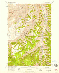
1954 · Harl Butte
USGS Topo · 1:62,500
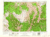
1955 · Grangeville
USGS Topo · 1:250,000
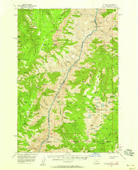
1957 · He Devil
USGS Topo · 1:62,500
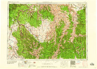
1959 · Grangeville
USGS Topo · 1:250,000
1980 · Grangeville
USGS Topo · 1:100,000
1987 · Riggins
USGS Topo · 1:100,000
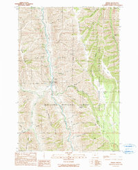
1990 · Imnaha
USGS Topo · 1:24,000