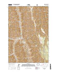
2017 Map of Imnaha
USGS Topo · Published 2017About this map
Imnaha serves as the central hub of this remote canyon landscape, situated at the confluence of the Imnaha River and Big Sheep Cr. The settlement is shadowed by steep topographic features like Cemetery Hill and Hartshorn Butte, illustrating the constrained development typical of the Wallowa National Forest region. The mapping of Imnaha Cem and numerous named canyons such as Burcher Canyon and Bailey Canyon provides specific coordinates for local historians tracking family lineage and early ranching footprints.
Find a feature on this map
62 named features on this map. Tap any name to fly to it.
Don’t see what you’re looking for? This feature index may not catch every label — zoom into the map to look around manually.
Map Details
Editions of this 2017 Imnaha Map
This is the sole edition of this map. No revisions or reprints were ever made.
Other maps of this area
1922 · He Devil
USGS Topo · 1:48,000
1954 · Imnaha
USGS Topo · 1:62,500
1954 · Kernan Point
USGS Topo · 1:62,500
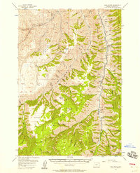
1954 · Harl Butte
USGS Topo · 1:62,500
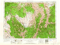
1955 · Grangeville
USGS Topo · 1:250,000
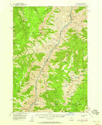
1957 · He Devil
USGS Topo · 1:62,500
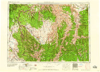
1959 · Grangeville
USGS Topo · 1:250,000
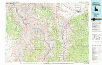
1980 · Grangeville
USGS Topo · 1:100,000
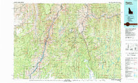
1987 · Riggins
USGS Topo · 1:100,000
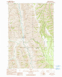
1990 · Imnaha
USGS Topo · 1:24,000