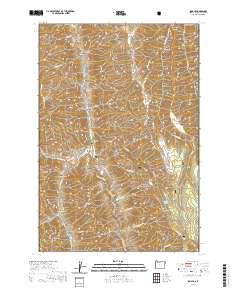
2020 Map of Imnaha
USGS Topo · Published 2020About this map
The unincorporated community of Imnaha sits at the confluence of several steep drainages where the Imnaha Wild and Scenic River carves through the basaltic landscape. This 2020 survey illustrates the remote character of Wallowa County, with the settlement serving as a critical gateway to the surrounding Wallowa National Forest. The map documents the local geography from the heights of Grizzly Ridge and Hartshorn Butte down to the river valley floor. Genealogists and local historians can locate the Imnaha Cemetery near the river bend, positioned below Cemetery Hill. The surrounding terrain is a complex network of canyons and gulches, including Burcher Canyon, Imnaha Gulch, and Stickney Gulch, highlighting the area's deep reliance on the river corridor for access, notably along Lower Imnaha Rd. Significant landmarks like Mid Point Divide and Maxwell Basin provide a detailed look at the upland topography that has shaped settlement patterns in this corner of Oregon.
Find a feature on this map
63 named features on this map. Tap any name to fly to it.
Don’t see what you’re looking for? This feature index may not catch every label — zoom into the map to look around manually.
Map Details
Editions of this 2020 Imnaha Map
This is the sole edition of this map. No revisions or reprints were ever made.
Other maps of this area

1922 · He Devil
USGS Topo · 1:48,000

1954 · Imnaha
USGS Topo · 1:62,500

1954 · Kernan Point
USGS Topo · 1:62,500

1954 · Harl Butte
USGS Topo · 1:62,500

1955 · Grangeville
USGS Topo · 1:250,000

1957 · He Devil
USGS Topo · 1:62,500

1959 · Grangeville
USGS Topo · 1:250,000

1980 · Grangeville
USGS Topo · 1:100,000

1987 · Riggins
USGS Topo · 1:100,000

1990 · Imnaha
USGS Topo · 1:24,000