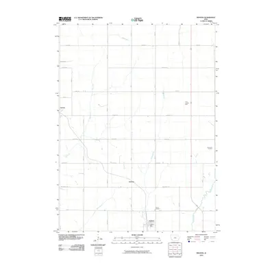
2010 Map of Imogene
USGS Topo · Published 2010About this map
Imogene serves as the primary hub in this corner of Fremont County, situated along the historic corridor of the Wabash R R. The landscape is defined by its deep agricultural roots and a drainage network that includes Deer Creek, Honey Creek, and Hunter Branch, which cut through the gridded county roads. Small settlements like Strahan and Solomon anchor the rural landscape, reflecting the long-standing community structure of the region.
Find a feature on this map
22 named features on this map. Tap any name to fly to it.
Don’t see what you’re looking for? This feature index may not catch every label — zoom into the map to look around manually.
Map Details
Editions of this 2010 Imogene Map
This is the sole edition of this map. No revisions or reprints were ever made.
Other maps of this area

1954 · Omaha
USGS Topo · 1:250,000

1955 · Nebraska City
USGS Topo · 1:250,000

1956 · Malvern
USGS Topo · 1:24,000

1957 · Nebraska City
USGS Topo · 1:250,000

1957 · Omaha
USGS Topo · 1:250,000

1957 · Randolph
USGS Topo · 1:24,000

1957 · Tabor NE
USGS Topo · 1:24,000

1958 · Omaha
USGS Topo · 1:250,000

1958 · Nebraska City
USGS Topo · 1:250,000

1978 · Shenandoah East
USGS Topo · 1:24,000