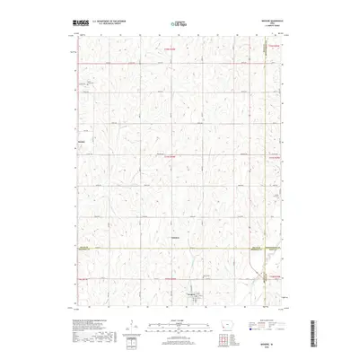
2018 Map of Imogene
USGS Topo · Published 2018About this map
Imogene sits at the convergence of several county lines in this southwestern Iowa landscape, where the borders of Mills, Montgomery, Fremont, and Page counties meet. This area is defined by its agricultural grid and the natural drainage patterns of Honey Cr and Hunter Br. The small settlement of Strahan and the community at Solomon anchor the northern and central sections of the quadrangle, connected by a network of rural roads like Co Hwy H38 and Co Hwy H46. For local historians and genealogists, the map reveals several resting places including South Grove Cem in the northwest, David Farm Cem to the east, and Monroe Cem near the southern border. The landscape is a classic example of Midwestern prairie development, with the drainage of Walnut Creek and Deer Cr influencing the placement of homesteads and early township lines.
Find a feature on this map
42 named features on this map. Tap any name to fly to it.
Don’t see what you’re looking for? This feature index may not catch every label — zoom into the map to look around manually.
Map Details
Editions of this 2018 Imogene Map
This is the sole edition of this map. No revisions or reprints were ever made.
Other maps of this area

1954 · Omaha
USGS Topo · 1:250,000
1955 · Nebraska City
USGS Topo · 1:250,000
1956 · Malvern
USGS Topo · 1:24,000
1957 · Nebraska City
USGS Topo · 1:250,000

1957 · Omaha
USGS Topo · 1:250,000
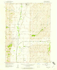
1957 · Randolph
USGS Topo · 1:24,000
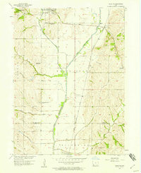
1957 · Tabor NE
USGS Topo · 1:24,000

1958 · Omaha
USGS Topo · 1:250,000
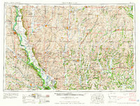
1958 · Nebraska City
USGS Topo · 1:250,000
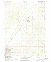
1978 · Shenandoah East
USGS Topo · 1:24,000