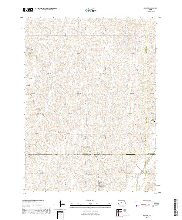
2022 Map of Imogene
USGS Topo · Published 2022About this map
Imogene sits at the southern edge of this southwest Iowa landscape, where the grid of Fremont and Mills counties meet. The town's layout, featuring streets like 1st St and 2nd St, anchors a region defined by agricultural sections and small creek drainages. To the northwest, the settlement of Strahan marks another localized hub, while the Wabash Trace Nature Trail cuts diagonally across the quadrangle, following a former rail corridor through Solomon. Genealogists will find several burial grounds across the township lines, including South Grove Cemetery in the northwest and the David Farm Cemetery to the east. The terrain is shaped by the winding paths of Honey Creek and Hunter Branch, illustrating the typical drainage patterns that dictated early farmstead placement and the subsequent road network of the prairie.
Find a feature on this map
43 named features on this map. Tap any name to fly to it.
Don’t see what you’re looking for? This feature index may not catch every label — zoom into the map to look around manually.
Map Details
Editions of this 2022 Imogene Map
This is the sole edition of this map. No revisions or reprints were ever made.
Other maps of this area

1954 · Omaha
USGS Topo · 1:250,000

1955 · Nebraska City
USGS Topo · 1:250,000

1956 · Malvern
USGS Topo · 1:24,000

1957 · Nebraska City
USGS Topo · 1:250,000

1957 · Omaha
USGS Topo · 1:250,000

1957 · Randolph
USGS Topo · 1:24,000

1957 · Tabor NE
USGS Topo · 1:24,000

1958 · Omaha
USGS Topo · 1:250,000

1958 · Nebraska City
USGS Topo · 1:250,000

1978 · Shenandoah East
USGS Topo · 1:24,000