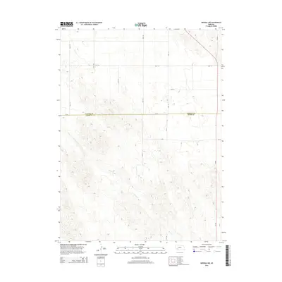
2014 Map of Imperial NW
USGS Topo · Published 2014About this map
The Spring Cr drainage network carves a distinctive path through this high plains landscape on the border of southwest Nebraska. This survey documents a critical transition where the plateau surface meets the headwaters of the creek, illustrating how the natural topography dictates the rigid grid of county section roads. The boundary between Perkins Co and Chase Co runs east-west across the center of the map, intersected by a network of established routes including 330 Ave, 331 Ave, and Road 333. The alignment of these roads, such as 750 Rd and 749 Rd, follows the geometric precision of the Public Land Survey System, while the meandering course of the creek bed provides the only deviation from the straight-line human organization of the territory.
Find a feature on this map
15 named features on this map. Tap any name to fly to it.
Don’t see what you’re looking for? This feature index may not catch every label — zoom into the map to look around manually.
Map Details
Editions of this 2014 Imperial NW Map
This is the sole edition of this map. No revisions or reprints were ever made.
Other maps of this area

1954 · McCook
USGS Topo · 1:250,000

1957 · McCook
USGS Topo · 1:250,000

1958 · McCook
USGS Topo · 1:250,000
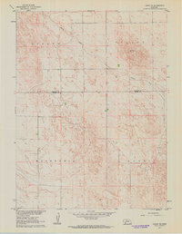
1961 · Lamar NE
USGS Topo · 1:24,000
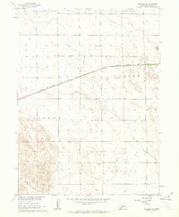
1961 · Brandon SE
USGS Topo · 1:24,000
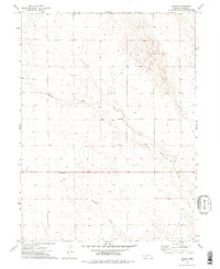
1973 · Chase
USGS Topo · 1:24,000
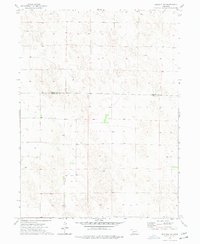
1973 · Imperial NE
USGS Topo · 1:24,000
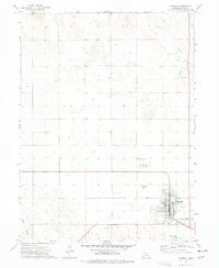
1973 · Imperial
USGS Topo · 1:24,000
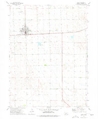
1973 · Grant
USGS Topo · 1:24,000
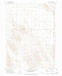
1973 · Imperial NW
USGS Topo · 1:24,000