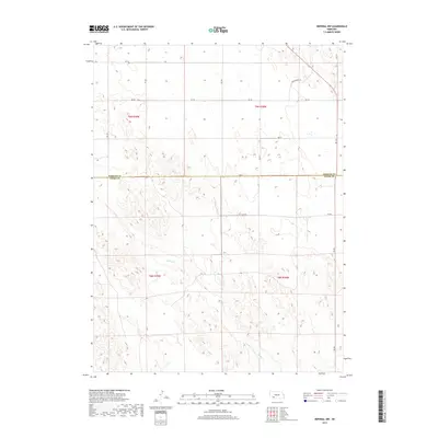
2017 Map of Imperial NW
USGS Topo · Published 2017About this map
Spring Cr meanders across the high plains of Southwest Nebraska, marking the primary natural drainage in this agricultural landscape. The terrain is defined by the straight-line precision of the Public Land Survey System, with the boundary between Perkins County and Chase County running east-to-west across the center of the sheet. This 2017 survey reveals a strictly organized rural grid of section lines and access roads, including Gengenbrch Ln, which hints at the local families who have long managed these lands. The infrastructure is characterized by wide-reaching county roads such as 750 Rd and 331 Ave, supporting the dispersed farmstead economy common to the Sandhills region. This map illustrates the intersection of modern cartographic precision with a traditional agrarian layout that has remained remarkably stable for decades.
Find a feature on this map
14 named features on this map. Tap any name to fly to it.
Don’t see what you’re looking for? This feature index may not catch every label — zoom into the map to look around manually.
Map Details
Editions of this 2017 Imperial NW Map
This is the sole edition of this map. No revisions or reprints were ever made.
Other maps of this area

1954 · McCook
USGS Topo · 1:250,000

1957 · McCook
USGS Topo · 1:250,000

1958 · McCook
USGS Topo · 1:250,000
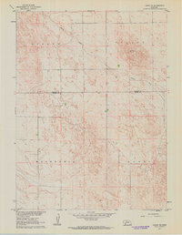
1961 · Lamar NE
USGS Topo · 1:24,000
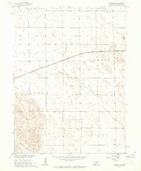
1961 · Brandon SE
USGS Topo · 1:24,000
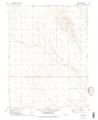
1973 · Chase
USGS Topo · 1:24,000
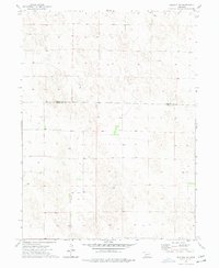
1973 · Imperial NE
USGS Topo · 1:24,000
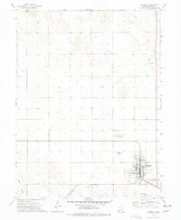
1973 · Imperial
USGS Topo · 1:24,000
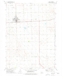
1973 · Grant
USGS Topo · 1:24,000
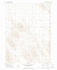
1973 · Imperial NW
USGS Topo · 1:24,000