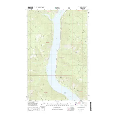
2017 Map of Inch Mountain
USGS Topo · Published 2017About this map
Lake Koocanusa dominates this portion of Lincoln County, stretching through a narrow valley within the Kootenai National Forest. The map documents the complex water network that feeds into this reservoir, including McGuire Creek, Tweed Creek, and the North Fork Parsnip Creek. To the west, the Purcell Mountains rise sharply, marked by high points like Parsnip Mountain and the High Divide.
Find a feature on this map
29 named features on this map. Tap any name to fly to it.
Don’t see what you’re looking for? This feature index may not catch every label — zoom into the map to look around manually.
Map Details
Editions of this 2017 Inch Mountain Map
This is the sole edition of this map. No revisions or reprints were ever made.
Other maps of this area

1957 · Kalispell
USGS Topo · 1:250,000

1960 · Kalispell
USGS Topo · 1:250,000

1961 · Kalispell
USGS Topo · 1:250,000
1963 · Mc Guire Mountain
USGS Topo · 1:24,000
1963 · Banfield Mountain
USGS Topo · 1:24,000
1963 · Webb Mountain
USGS Topo · 1:24,000
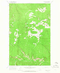
1963 · Boulder Lakes
USGS Topo · 1:24,000
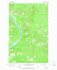
1963 · Volcour
USGS Topo · 1:24,000
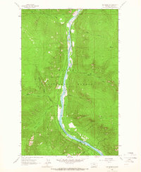
1963 · Inch Mountain
USGS Topo · 1:24,000
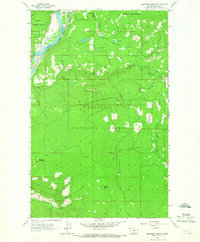
1963 · Beartrap Mountain
USGS Topo · 1:24,000