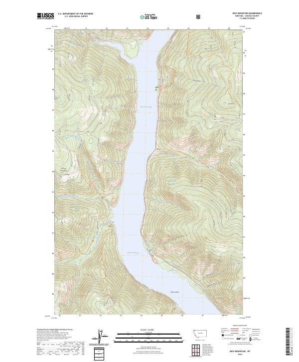
2024 Map of Inch Mountain
USGS Topo · Published 2024About this map
Lake Koocanusa dominates the central landscape of this Lincoln County quadrangle, a significant reservoir formed by the damming of the Kootenai River. Situated within the Kootenai National Forest, the map illustrates a terrain defined by steep ridges and drainages typical of the Purcell Mountains. High-elevation landmarks such as Inch Mtn and the various forks of Parsnip Creek provide a clear view of the complex hydrology and topography that shape this wilderness area. The presence of Cedar Island near the southern extent of the water body serves as a notable navigational point for those studying the shoreline as it exists today. A network of Forest Service routes, including the Natl Forest Develop Road 255 Rd and several historic footpaths like the Warex Peak Trl, reveals the infrastructure used for modern forest management and back-country recreation.
Find a feature on this map
30 named features on this map. Tap any name to fly to it.
Don’t see what you’re looking for? This feature index may not catch every label — zoom into the map to look around manually.
Map Details
Editions of this 2024 Inch Mountain Map
This is the sole edition of this map. No revisions or reprints were ever made.
Other maps of this area

1957 · Kalispell
USGS Topo · 1:250,000

1960 · Kalispell
USGS Topo · 1:250,000

1961 · Kalispell
USGS Topo · 1:250,000

1963 · Mc Guire Mountain
USGS Topo · 1:24,000

1963 · Banfield Mountain
USGS Topo · 1:24,000

1963 · Webb Mountain
USGS Topo · 1:24,000

1963 · Boulder Lakes
USGS Topo · 1:24,000
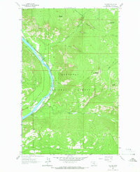
1963 · Volcour
USGS Topo · 1:24,000
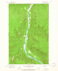
1963 · Inch Mountain
USGS Topo · 1:24,000
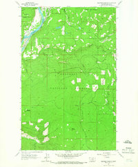
1963 · Beartrap Mountain
USGS Topo · 1:24,000