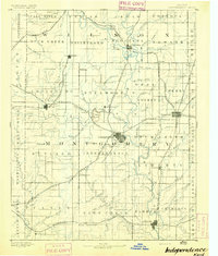
1894 Map of Independence
USGS Topo · Published 1894About this map
The Independence area serves as a primary hub of Southeast Kansas railroad expansion during the late nineteenth century. In this 1884 survey, three major rail lines—the Atchison Topeka and Santa Fe R.R., the St. Louis and San Francisco R.R., and the Missouri Pacific R.R.—intersect to connect emerging industrial centers like Cherryvale and Coffeyville. The landscape is defined by the convergence of the Fall and Verdigris rivers near Neodesha, while smaller settlements such as Radical City, Sternerton, and Fontaine indicate the rapid spread of homesteads across Montgomery County.
Find a feature on this map
96 named features on this map. Tap any name to fly to it.
Don’t see what you’re looking for? This feature index may not catch every label — zoom into the map to look around manually.
Map Details
Editions of this 1894 Independence Map
This is the sole edition of this map. No revisions or reprints were ever made.
Other maps of this area
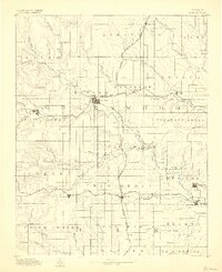
1885 · Eureka
USGS Topo · 1:125,000
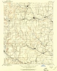
1885 · Sedan
USGS Topo · 1:125,000
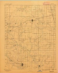
1886 · Fredonia
USGS Topo · 1:125,000
1886 · Iola
USGS Topo · 1:125,000
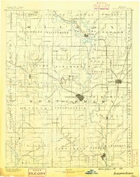
1886 · Independence
USGS Topo · 1:125,000
1886 · Parsons
USGS Topo · 1:125,000
1888 · Eureka
USGS Topo · 1:125,000
1889 · Sedan
USGS Topo · 1:125,000
1893 · Iola
USGS Topo · 1:125,000
1893 · Parsons
USGS Topo · 1:125,000