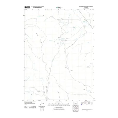
2010 Map of Independence Mountain
USGS Topo · Published 2010About this map
Independence Mountain and the surrounding high country define this Jackson County landscape, where the legacy of early 20th-century resource extraction remains etched into the terrain. The presence of several mineral works, including the Simmons Mine, Caprock Mine, and gold-working sites like Mitchell Placer, Placer Draw Placers, and Lawrence Placer, indicates a history of rugged industrial labor.
Find a feature on this map
38 named features on this map. Tap any name to fly to it.
Don’t see what you’re looking for? This feature index may not catch every label — zoom into the map to look around manually.
Map Details
Editions of this 2010 Independence Mountain Map
This is the sole edition of this map. No revisions or reprints were ever made.
Other maps of this area

1906 · Medicine Bow
USGS Topo · 1:125,000

1908 · Medicine Bow
USGS Topo · 1:125,000

1911 · Hahns Peak
USGS Topo · 1:125,000

1913 · Hahns Peak
USGS Topo · 1:125,000

1939 · Saratoga
USGS Topo · 1:125,000

1950 · Northgate
USGS Topo · 1:24,000

1952 · Northgate
USGS Topo · 1:24,000

1954 · Rawlins
USGS Topo · 1:250,000

1954 · Craig
USGS Topo · 1:250,000

1955 · Independence Mountain
USGS Topo · 1:24,000