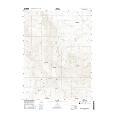
2016 Map of Independence Mountain
USGS Topo · Published 2016About this map
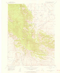
Independence Mountain dominates the center of this landscape in North Park, serving as a focal point for a complex network of high-altitude water management. The area is defined by an intricate system of irrigation and storage, including the Bighorn Cattle Company Ditch, Huntington Ditch, and Independence Ditch, which redirect snowmelt from the surrounding peaks. Numerous catchments like Wills Reservoir and Hunter Reservoir punctuate the drainage basins of Spring Cr and Threemile Cr.
Find a feature on this map
39 named features on this map. Tap any name to fly to it.
Don’t see what you’re looking for? This feature index may not catch every label — zoom into the map to look around manually.
Map Details
Editions of this 2016 Independence Mountain Map
This is the sole edition of this map. No revisions or reprints were ever made.
Other maps of this area
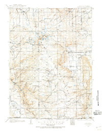
1906 · Medicine Bow
USGS Topo · 1:125,000
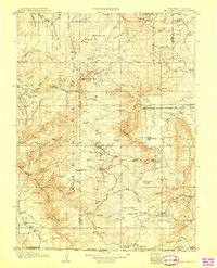
1908 · Medicine Bow
USGS Topo · 1:125,000
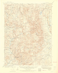
1911 · Hahns Peak
USGS Topo · 1:125,000
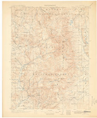
1913 · Hahns Peak
USGS Topo · 1:125,000
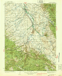
1939 · Saratoga
USGS Topo · 1:125,000
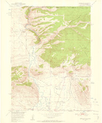
1950 · Northgate
USGS Topo · 1:24,000
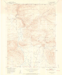
1952 · Northgate
USGS Topo · 1:24,000

1954 · Rawlins
USGS Topo · 1:250,000

1954 · Craig
USGS Topo · 1:250,000
1955 · Independence Mountain
USGS Topo · 1:24,000