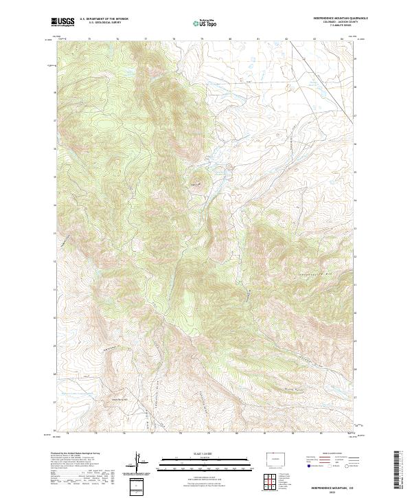
2022 Map of Independence Mountain
USGS Topo · Published 2022About this map
Independence Mtn dominates the high-altitude landscape of this Jackson County survey, where complex water management systems define the terrain. The presence of numerous irrigation and transport channels, such as the Bighorn Cattle Company Ditch, Huntington Ditch, and the Threemile Cr Threemile Ditch, reflects the vital role of water rights in this mountainous region. These engineered waterways are supported by several collection points, including Wills Reservoir, Hunter Reservoir, and Threemile Reservoir.
Find a feature on this map
41 named features on this map. Tap any name to fly to it.
Don’t see what you’re looking for? This feature index may not catch every label — zoom into the map to look around manually.
Map Details
Editions of this 2022 Independence Mountain Map
This is the sole edition of this map. No revisions or reprints were ever made.
Other maps of this area

1906 · Medicine Bow
USGS Topo · 1:125,000

1908 · Medicine Bow
USGS Topo · 1:125,000

1911 · Hahns Peak
USGS Topo · 1:125,000

1913 · Hahns Peak
USGS Topo · 1:125,000

1939 · Saratoga
USGS Topo · 1:125,000

1950 · Northgate
USGS Topo · 1:24,000

1952 · Northgate
USGS Topo · 1:24,000

1954 · Rawlins
USGS Topo · 1:250,000

1954 · Craig
USGS Topo · 1:250,000

1955 · Independence Mountain
USGS Topo · 1:24,000