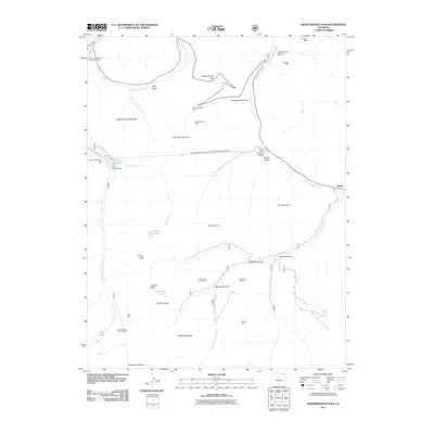
2011 Map of Independence Pass
USGS Topo · Published 2011About this map
Independence Pass serves as the high-altitude centerpiece of this landscape, where the headwaters of the Roaring Fork River and South Fork Lake Creek diverge at the Continental Divide. This 2011 survey documents a terrain defined by 19th-century resource extraction and modern water management. The legacy of high-country mining is evident in the numerous shafts scattered across the slopes, including the Champion Mine and the Lincoln Mining District Mine. These sites sit alongside the complex infrastructure of the Twin Lakes Reservoir and Canal Company Tunnel Number 1 and the New York Collection Canal, which divert water through the mountains. Near the eastern edge, the settlement of Everett marks a historic point of habitation below Star Mountain, while the Grizzly Reservoir Dam regulates flow in the western drainages near the Portal Campground.
Find a feature on this map
44 named features on this map. Tap any name to fly to it.
Don’t see what you’re looking for? This feature index may not catch every label — zoom into the map to look around manually.
Map Details
Editions of this 2011 Independence Pass Map
This is the sole edition of this map. No revisions or reprints were ever made.
Other maps of this area
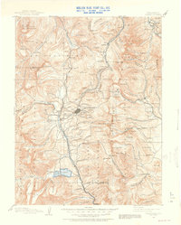
1889 · Leadville
USGS Topo · 1:125,000
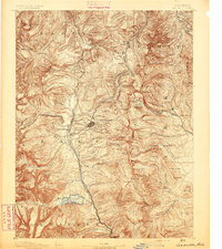
1891 · Leadville
USGS Topo · 1:125,000
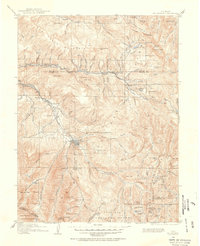
1909 · Mount Jackson
USGS Topo · 1:125,000
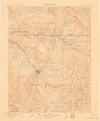
1911 · Mount Jackson
USGS Topo · 1:125,000
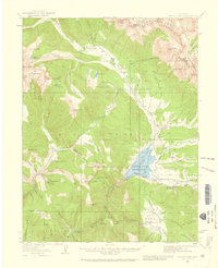
1934 · Taylor Park
USGS Topo · 1:62,500
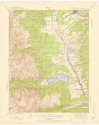
1935 · Mount Elbert
USGS Topo · 1:62,500
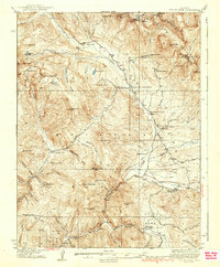
1937 · Taylor Park
USGS Topo · 1:62,500
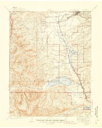
1938 · Mount Elbert
USGS Topo · 1:62,500
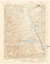
1939 · Mount Elbert
USGS Topo · 1:62,500
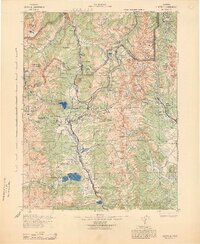
1942 · Leadville
USGS Topo · 1:125,000