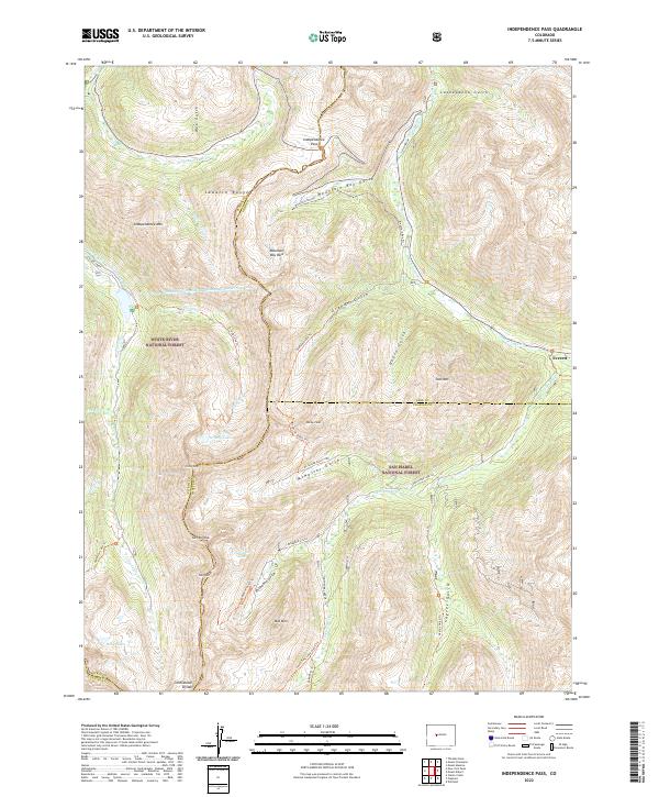
2022 Map of Independence Pass
USGS Topo · Published 2022About this map
Independence Pass serves as the high-altitude gateway between the Roaring Fork River headwaters and the eastern slope of the Sawatch Range. This 2022 survey captures the modern infrastructure of this high alpine environment, where the Twin Lakes Reservoir and Canal Company Tunnel Number 1 and the Lincoln Gulch Connection Canal illustrate complex trans-mountain water engineering.
Find a feature on this map
56 named features on this map. Tap any name to fly to it.
Don’t see what you’re looking for? This feature index may not catch every label — zoom into the map to look around manually.
Map Details
Editions of this 2022 Independence Pass Map
This is the sole edition of this map. No revisions or reprints were ever made.
Other maps of this area

1889 · Leadville
USGS Topo · 1:125,000

1891 · Leadville
USGS Topo · 1:125,000

1909 · Mount Jackson
USGS Topo · 1:125,000

1911 · Mount Jackson
USGS Topo · 1:125,000

1934 · Taylor Park
USGS Topo · 1:62,500

1935 · Mount Elbert
USGS Topo · 1:62,500

1937 · Taylor Park
USGS Topo · 1:62,500

1938 · Mount Elbert
USGS Topo · 1:62,500

1939 · Mount Elbert
USGS Topo · 1:62,500

1942 · Leadville
USGS Topo · 1:125,000