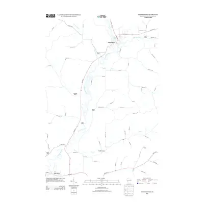
2013 Map of Independence
USGS Topo · Published 2013About this map
The Trempealeau River meanders through this portion of Trempealeau County, anchoring the settlement of Independence. The landscape is defined by its deep drainage patterns and namesake valleys, including Traverse Valley, Wickham Valley, and Korpal Valley. These topographic features directed the early development of rural road networks, many of which follow the winding path of waterways like Elk Cr and Plum Cr.
Find a feature on this map
72 named features on this map. Tap any name to fly to it.
Don’t see what you’re looking for? This feature index may not catch every label — zoom into the map to look around manually.
Map Details
Editions of this 2013 Independence Map
This is the sole edition of this map. No revisions or reprints were ever made.
Other maps of this area

1926 · Whitehall
USGS Topo · 1:62,500

1929 · Whitehall
USGS Topo · 1:62,500

1929 · Fountain City
USGS Topo · 1:62,500

1929 · Galesville
USGS Topo · 1:62,500

1932 · Gilmanton
USGS Topo · 1:62,500

1934 · Winona
USGS Topo · 1:62,500

1937 · Winona
USGS Topo · 1:62,500

1953 · Eau Claire
USGS Topo · 1:250,000

1958 · Eau Claire
USGS Topo · 1:250,000

1964 · Eau Claire
USGS Topo · 1:250,000