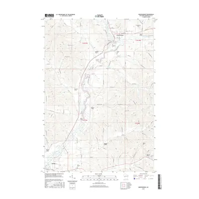
2015 Map of Independence
USGS Topo · Published 2015About this map
Independence and the northern edge of Arcadia anchor this 2015 study of the driftless-style topography along the Trempealeau River. The landscape is defined by its numerous branching valleys, including Traverse Valley, Wickham Valley, and Rainey Valley, which provide relatively level ground for local agriculture and road networks amidst the surrounding heights. Bugle Lake sits at the heart of Independence, formed by the river as it passes through the community.
Find a feature on this map
91 named features on this map. Tap any name to fly to it.
Don’t see what you’re looking for? This feature index may not catch every label — zoom into the map to look around manually.
Map Details
Editions of this 2015 Independence Map
This is the sole edition of this map. No revisions or reprints were ever made.
Other maps of this area

1926 · Whitehall
USGS Topo · 1:62,500

1929 · Whitehall
USGS Topo · 1:62,500

1929 · Fountain City
USGS Topo · 1:62,500

1929 · Galesville
USGS Topo · 1:62,500

1932 · Gilmanton
USGS Topo · 1:62,500

1934 · Winona
USGS Topo · 1:62,500

1937 · Winona
USGS Topo · 1:62,500

1953 · Eau Claire
USGS Topo · 1:250,000

1958 · Eau Claire
USGS Topo · 1:250,000

1964 · Eau Claire
USGS Topo · 1:250,000