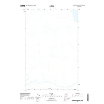
2020 Map of Independent Mountain OE N
USGS Topo · Published 2020About this map
The international boundary of Canada defines the southern edge of this topographic study, where the northernmost reaches of Washington State meet the border. This map area is characterized by its intricate hydrographic network, showing numerous unnamed mountain streams and drainage patterns that feed southward. While the landscape is largely devoid of named settlements or major transportation infrastructure, the detailed contour lines and stream paths provide a precise record of the physical geography along this remote stretch of the border. This 2020 edition was produced by the U.S. Geological Survey to document the terrain and natural features of the Independent Mountain area as it exists today.
Find a feature on this map
1 named feature on this map. Tap any name to fly to it.
Don’t see what you’re looking for? This feature index may not catch every label — zoom into the map to look around manually.
Map Details
Editions of this 2020 Independent Mountain OE N Map
This is the sole edition of this map. No revisions or reprints were ever made.
Other maps of this area

1936 · Marcus
USGS Topo · 1:96,000

1942 · Marcus
USGS Topo · 1:125,000

1948 · Orient
USGS Topo · 1:62,500

1948 · Togo Mountain
USGS Topo · 1:62,500

1951 · Togo Mountain
USGS Topo · 1:62,500

1951 · Orient
USGS Topo · 1:62,500

1954 · Okanogan
USGS Topo · 1:250,000

1958 · Okanogan
USGS Topo · 1:250,000
1969 · Laurier
USGS Topo · 1:24,000
1983 · Boundary Mtn
USGS Topo · 1:24,000