
2014 Map of Index
USGS Topo · Published 2014About this map
The town of Index sits at the confluence where the North Fork Skykomish River and the South Fork Skykomish River meet, forming the main Skykomish River. This 2014 survey captures the dramatic topography of the Cascade foothills, dominated by the massive granite presence of Mt Index and Mt Persis to the south. The landscape is defined by its verticality, with water features such as Lake Serene and Bridal Veil Falls tucked into the steep slopes above the river valley. The infrastructure reflects the narrow corridor of human activity along the Stevens Pass Hwy, connecting the small settlements of Index and Halford. Higher elevations are characterized by named peaks like Philadelphia Mtn and Heybrook Mtn, within the expansive boundaries of the Snoqualmie National Forest. Notable landmarks include the Heybrook Lookout and the North Fork Skykomish River Bridge, marking vital points in the local transportation and monitoring network.
Find a feature on this map
51 named features on this map. Tap any name to fly to it.
Don’t see what you’re looking for? This feature index may not catch every label — zoom into the map to look around manually.
Map Details
Editions of this 2014 Index Map
This is the sole edition of this map. No revisions or reprints were ever made.
Other maps of this area
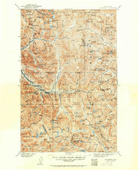
1902 · Skykomish
USGS Topo · 1:125,000
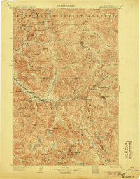
1905 · Skykomish
USGS Topo · 1:125,000
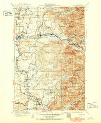
1921 · Sultan
USGS Topo · 1:125,000
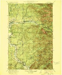
1923 · Sultan
USGS Topo · 1:125,000
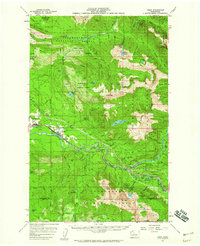
1957 · Index
USGS Topo · 1:62,500
1957 · Wenatchee
USGS Topo · 1:250,000
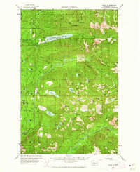
1960 · Mount Si
USGS Topo · 1:62,500
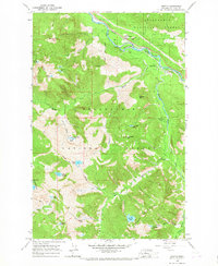
1965 · Grotto
USGS Topo · 1:24,000
1965 · Monte Cristo
USGS Topo · 1:24,000
1965 · Baring
USGS Topo · 1:24,000