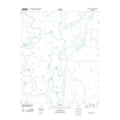
2011 Map of Indian Bay SE
USGS Topo · Published 2011About this map
The White River and its intricate network of side channels and oxbows dominate this Arkansas Delta landscape, illustrating a complex riverine environment shaped by seasonal flooding and agricultural management. The Big Island Shute and Indian Bay wind through the terrain, creating a geography of points and bends such as Cottonwood Point and Raft Bend. The presence of the Lambrook Levee and various water control structures like the Pike Pond Dam and Horton Lake Dam indicate the ongoing efforts to manage the wetlands for both local use and flood prevention.
Find a feature on this map
67 named features on this map. Tap any name to fly to it.
Don’t see what you’re looking for? This feature index may not catch every label — zoom into the map to look around manually.
Map Details
Editions of this 2011 Indian Bay SE Map
This is the sole edition of this map. No revisions or reprints were ever made.
Other maps of this area

1930 · Mellwood
USGS Topo · 1:62,500

1939 · Modoc
USGS Topo · 1:62,500

1939 · Indian Bay
USGS Topo · 1:62,500

1939 · Henrico
USGS Topo · 1:62,500

1939 · Mellwood
USGS Topo · 1:62,500

1948 · Helena
USGS Topo · 1:250,000

1948 · Modoc
USGS Topo · 1:62,500

1950 · Helena
USGS Topo · 1:250,000

1954 · Mellwood
USGS Topo · 1:62,500

1954 · Indian Bay
USGS Topo · 1:62,500