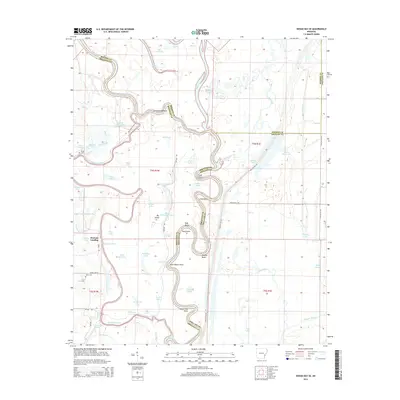
2014 Map of Indian Bay SE
USGS Topo · Published 2014About this map
The White River carves a complex, winding path through the delta lands along the border of Arkansas, Monroe, and Phillips Counties. This fluvial landscape is defined by its shifting hydrology, evidenced by numerous oxbows and secondary channels such as Big Island Chute and Waters Bayou. On the western bank, Hortons Landing sits near the eponymous Horton Lake, serving as a rare point of access to the river's edge.
Find a feature on this map
67 named features on this map. Tap any name to fly to it.
Don’t see what you’re looking for? This feature index may not catch every label — zoom into the map to look around manually.
Map Details
Editions of this 2014 Indian Bay SE Map
This is the sole edition of this map. No revisions or reprints were ever made.
Other maps of this area

1930 · Mellwood
USGS Topo · 1:62,500

1939 · Modoc
USGS Topo · 1:62,500

1939 · Indian Bay
USGS Topo · 1:62,500

1939 · Henrico
USGS Topo · 1:62,500

1939 · Mellwood
USGS Topo · 1:62,500

1948 · Helena
USGS Topo · 1:250,000

1948 · Modoc
USGS Topo · 1:62,500

1950 · Helena
USGS Topo · 1:250,000

1954 · Mellwood
USGS Topo · 1:62,500

1954 · Indian Bay
USGS Topo · 1:62,500