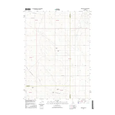
2017 Map of Indian Butte
USGS Topo · Published 2017About this map
The Bruneau Desert landscape of southern Idaho is defined here by its intersection of historical migration routes and modern irrigation infrastructure. The northern edge of this quadrangle is marked by the Old Oregon Trail Hwy, tracing the path of 19th-century pioneers through the high desert. To the south, the namesake Indian Butte stands as a prominent topographical landmark near the junction of Owyhee and Twin Falls counties.
Find a feature on this map
27 named features on this map. Tap any name to fly to it.
Don’t see what you’re looking for? This feature index may not catch every label — zoom into the map to look around manually.
Map Details
Editions of this 2017 Indian Butte Map
This is the sole edition of this map. No revisions or reprints were ever made.
Other maps of this area
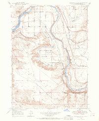
1947 · Pasadena Valley
USGS Topo · 1:24,000
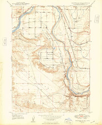
1948 · Pasadena Valley
USGS Topo · 1:24,000
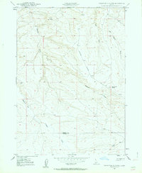
1948 · Twentymile Butte
USGS Topo · 1:24,000
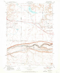
1948 · Ticeska
USGS Topo · 1:24,000
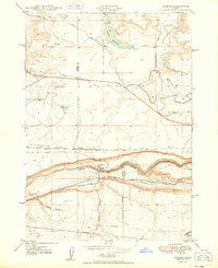
1949 · Ticeska
USGS Topo · 1:24,000
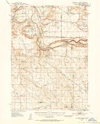
1949 · Pasadena Valley
USGS Topo · 1:62,500
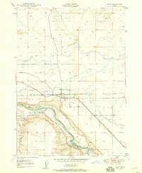
1949 · Bliss
USGS Topo · 1:24,000
1949 · Hagerman
USGS Topo · 1:24,000
1949 · Indian Butte
USGS Topo · 1:24,000
1950 · Hagerman
USGS Topo · 1:24,000