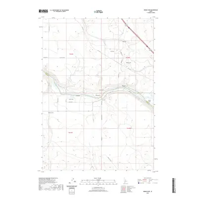
2020 Map of Indian Cove
USGS Topo · Published 2020About this map
Snake River separates Elmore County and Owyhee County, carving a deep canyon through this high desert region of southern Idaho. The small community of Indian Cove sits on the southern bank, defined by its relationship to the water and the local topography of steep coulees and basalt overlooks. Transport across the river is facilitated by the Indian Cove Bridge, which connects the cove to the northern benches and landforms like Medbury Hill and Chalk Flat.
Find a feature on this map
30 named features on this map. Tap any name to fly to it.
Don’t see what you’re looking for? This feature index may not catch every label — zoom into the map to look around manually.
Map Details
Editions of this 2020 Indian Cove Map
This is the sole edition of this map. No revisions or reprints were ever made.
Other maps of this area
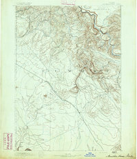
1892 · Mountain Home
USGS Topo · 1:125,000
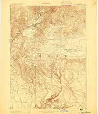
1892 · Camas Prairie
USGS Topo · 1:125,000
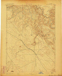
1893 · Mountain Home
USGS Topo · 1:125,000
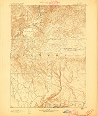
1893 · Camas Prairie
USGS Topo · 1:125,000
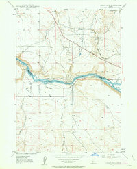
1947 · Indian Cove
USGS Topo · 1:24,000
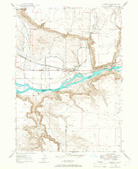
1947 · Hammett
USGS Topo · 1:24,000
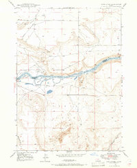
1947 · Sand Dunes
USGS Topo · 1:24,000
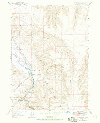
1947 · Hot Spring
USGS Topo · 1:24,000
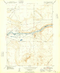
1948 · Sand Dunes
USGS Topo · 1:24,000
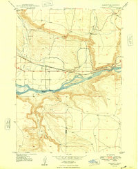
1948 · Hammett
USGS Topo · 1:24,000