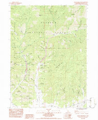
1984 Map of Indian Creek Baldy
USGS Topo · Published 1984About this map
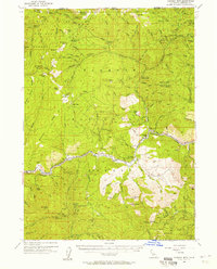
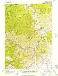
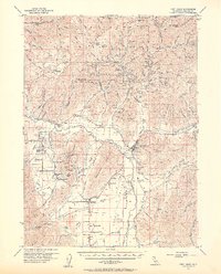
Klamath National Forest dominates this landscape within the Scott Bar Mountains, where the 1980s terrain remains defined by its gold mining legacy. Significant extraction history is visible through scattered operations like the Schroeder Mine, Hoboken Mine, and Cherry Hill Mine, while dredge tailings along the creek beds mark the heavy industrial processing of local waterways. The map preserves the locations of former settlements at Deadwood (Site) and Hooperville (Site), providing essential coordinates for researchers of Siskiyou County's pioneer-era habitation.
Find a feature on this map
81 named features on this map. Tap any name to fly to it.
Don’t see what you’re looking for? This feature index may not catch every label — zoom into the map to look around manually.
Map Details
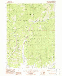
Editions of this 1984 Indian Creek Baldy Map
2 editions found
Other maps of this area

1886 · Shasta
USGS Topo · 1:250,000

1894 · Shasta
USGS Topo · 1:250,000

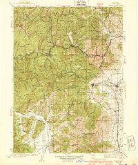
1932 · Yreka
USGS Topo · 1:96,000
1939 · Yreka
USGS Topo · 1:125,000

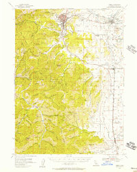
1948 · Weed
USGS Topo · 1:250,000

1950 · Weed
USGS Topo · 1:250,000
1954 · Yreka
USGS Topo · 1:62,500
1955 · Condrey Mtn
USGS Topo · 1:62,500
1955 · Hornbrook
USGS Topo · 1:62,500
1955 · Fort Jones
USGS Topo · 1:62,500