
2009 Map of Indian Creek
USGS Topo · Published 2009About this map
Indian Creek and its neighboring drainage systems define this section of Comanche County, where the landscape is marked by a network of intermittent stream beds and rural road sections. The topography is shaped by the southward-flowing Mule Creek in the northeast and the winding path of Owl Creek through the center of the quadrangle. This 2009 survey illustrates a deeply rural part of Kansas, where natural waterways like Dog Creek dictate the layout of the local transport infrastructure. The map reveals the characteristic settlement patterns of the Great Plains, where long stretches of road connect isolated points of interest along the creek valleys.
Find a feature on this map
4 named features on this map. Tap any name to fly to it.
Don’t see what you’re looking for? This feature index may not catch every label — zoom into the map to look around manually.
Map Details
Editions of this 2009 Indian Creek Map
This is the sole edition of this map. No revisions or reprints were ever made.
Other maps of this area

1891 · Medicine Lodge
USGS Topo · 1:125,000

1892 · Coldwater
USGS Topo · 1:125,000

1893 · Medicine Lodge
USGS Topo · 1:125,000

1955 · Pratt
USGS Topo · 1:250,000

1959 · Pratt
USGS Topo · 1:250,000

1968 · Sun City SW
USGS Topo · 1:24,000

1968 · Wilmore SE
USGS Topo · 1:24,000
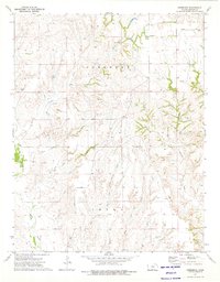
1973 · Deerhead
USGS Topo · 1:24,000
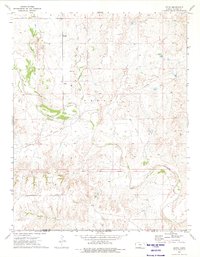
1973 · Aetna
USGS Topo · 1:24,000
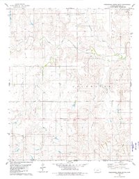
1979 · Nescatunga Creek South
USGS Topo · 1:24,000