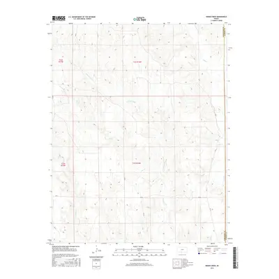
2016 Map of Indian Creek
USGS Topo · Published 2016About this map
Indian Creek and its many tributaries carve a dendritic drainage pattern through this section of the High Plains, illustrating the hydrological network that defines southeastern Comanche County. The landscape is characterized by the confluence of numerous intermittent streams, including Owl Cr, Wildcat Cr, and Dog Cr, which flow through a network of sections surveyed under the Public Land Survey System. The western edge of the adjacent Barber County line is visible, where Mule Cr crosses the boundary. Human presence is marked primarily by the grid of rural roads, such as Ave Q and Rd 31, which follow the section lines. This 2016 survey captures the area's essential agricultural and ranching layout, showing how the local road network accommodates the uneven terrain created by the Indian Creek watershed.
Find a feature on this map
17 named features on this map. Tap any name to fly to it.
Don’t see what you’re looking for? This feature index may not catch every label — zoom into the map to look around manually.
Map Details
Editions of this 2016 Indian Creek Map
This is the sole edition of this map. No revisions or reprints were ever made.
Other maps of this area
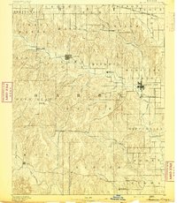
1891 · Medicine Lodge
USGS Topo · 1:125,000
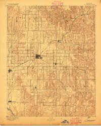
1892 · Coldwater
USGS Topo · 1:125,000
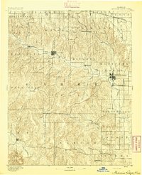
1893 · Medicine Lodge
USGS Topo · 1:125,000
1955 · Pratt
USGS Topo · 1:250,000
1959 · Pratt
USGS Topo · 1:250,000
1968 · Sun City SW
USGS Topo · 1:24,000
1968 · Wilmore SE
USGS Topo · 1:24,000
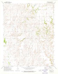
1973 · Deerhead
USGS Topo · 1:24,000
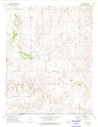
1973 · Aetna
USGS Topo · 1:24,000
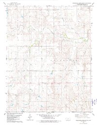
1979 · Nescatunga Creek South
USGS Topo · 1:24,000