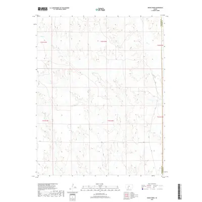
2018 Map of Indian Creek
USGS Topo · Published 2018About this map
Indian Cr and Owl Cr carve a complex drainage pattern through this section of the High Plains, where the terrain transitions toward the Red Hills. This landscape is defined by its deep dissection, where seasonal watercourses have etched intricate contours into the prairie, a characteristic feature of the Comanche County and Barber County border. The map illustrates a highly organized grid of range and township lines, including t32s r16w and t33s r15w, which dictate the sparse network of rural routes like RD 25 and Ave N. This rectilinear human imprint contrasts sharply with the wandering paths of Mule Cr and Wildcat Cr. While largely devoid of concentrated settlements, the area remains a classic example of the expansive ranching and agricultural territory typical of south-central Kansas.
Find a feature on this map
19 named features on this map. Tap any name to fly to it.
Don’t see what you’re looking for? This feature index may not catch every label — zoom into the map to look around manually.
Map Details
Editions of this 2018 Indian Creek Map
This is the sole edition of this map. No revisions or reprints were ever made.
Other maps of this area
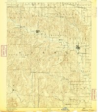
1891 · Medicine Lodge
USGS Topo · 1:125,000
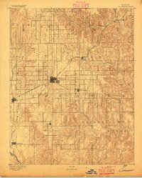
1892 · Coldwater
USGS Topo · 1:125,000
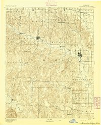
1893 · Medicine Lodge
USGS Topo · 1:125,000
1955 · Pratt
USGS Topo · 1:250,000
1959 · Pratt
USGS Topo · 1:250,000
1968 · Sun City SW
USGS Topo · 1:24,000
1968 · Wilmore SE
USGS Topo · 1:24,000
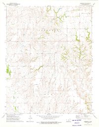
1973 · Deerhead
USGS Topo · 1:24,000
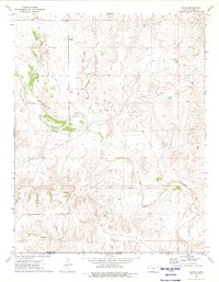
1973 · Aetna
USGS Topo · 1:24,000
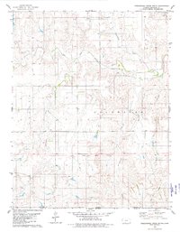
1979 · Nescatunga Creek South
USGS Topo · 1:24,000