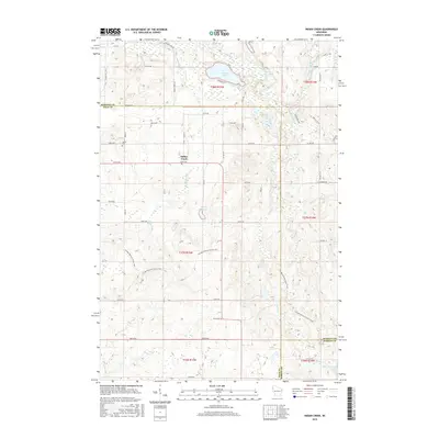
2015 Map of Indian Creek
USGS Topo · Published 2015About this map
Indian Creek and the neighboring settlement of Lorain anchor this rural landscape where the borders of Polk, Burnett, and Barron counties meet. The area is defined by its glacial hydrology, featuring a dense network of water bodies including Spencer Lake, Bass Lake, and the winding N Fork Clam River. For researchers of regional topography and recreation, a significant portion of the Ice Age National Scenic Trail is mapped here as it meanders through the glacial terrain between 330th Ave and 310th Ave. Local history is grounded in sites like the Lorain Cem, while the grid of family-named roads like Styles Rd and Root Rd illustrates the enduring agricultural property patterns of the early 21st century. The map also captures the headwaters of Sand Cr and the marshy margins of Upper Waterman Lake in the southeastern corner.
Find a feature on this map
48 named features on this map. Tap any name to fly to it.
Don’t see what you’re looking for? This feature index may not catch every label — zoom into the map to look around manually.
Map Details
Editions of this 2015 Indian Creek Map
This is the sole edition of this map. No revisions or reprints were ever made.
Other maps of this area

1949 · Hertel
USGS Topo · 1:48,000

1950 · Webster
USGS Topo · 1:48,000

1951 · Cumberland
USGS Topo · 1:48,000

1951 · Frederic
USGS Topo · 1:48,000

1953 · Stillwater
USGS Topo · 1:250,000

1955 · Hertel
USGS Topo · 1:62,500

1955 · Webster
USGS Topo · 1:62,500

1955 · Frederic
USGS Topo · 1:62,500

1955 · Stillwater
USGS Topo · 1:250,000

1956 · Cumberland
USGS Topo · 1:62,500