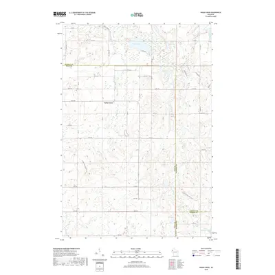
2018 Map of Indian Creek
USGS Topo · Published 2018About this map
Indian Creek lies at the heart of this northwestern Wisconsin landscape, where the borders of Polk, Burnett, and Barron counties meet. The terrain is defined by a dense network of glacial lakes and small watercourses, including Spencer Lake, Little Bass Lake, and the winding Clam River. These waters, along with tributaries like Spencer Lake Cr and Sand Cr, shaped the local settlement patterns and agricultural drainage of the region. Local history is anchored by the Lorain Cem, which serves as a primary genealogical landmark for the surrounding rural community. The map details a strictly organized grid of local roads, such as Co RD B and Co HWY Ee, that navigate the wetland pockets and undulating topography. To the southeast, Upper Waterman Lake marks the edge of a diverse hydrologic system that continues to dictate the rural character of this tri-county borderland.
Find a feature on this map
37 named features on this map. Tap any name to fly to it.
Don’t see what you’re looking for? This feature index may not catch every label — zoom into the map to look around manually.
Map Details
Editions of this 2018 Indian Creek Map
This is the sole edition of this map. No revisions or reprints were ever made.
Other maps of this area

1949 · Hertel
USGS Topo · 1:48,000

1950 · Webster
USGS Topo · 1:48,000

1951 · Cumberland
USGS Topo · 1:48,000

1951 · Frederic
USGS Topo · 1:48,000

1953 · Stillwater
USGS Topo · 1:250,000

1955 · Hertel
USGS Topo · 1:62,500

1955 · Webster
USGS Topo · 1:62,500

1955 · Frederic
USGS Topo · 1:62,500

1955 · Stillwater
USGS Topo · 1:250,000

1956 · Cumberland
USGS Topo · 1:62,500