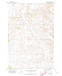
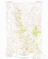
1971 Map of Indian Creek
USGS Topo · Published 1974About this map
Indian Creek carves a central path through this landscape of the northern Great Plains, where the terrain is defined by a dense network of coulees and seasonal drainages. During the early 1970s, this area of Rosebud County remained largely undeveloped, characterized by a sparse infrastructure of ranching and resource extraction. Evidence of early mineral interest appears in the form of several scattered Well sites across the township sections, while transport is limited to rugged routes like a Jeep Trail and the distant Graveyard Creek Rd. 8 Mi.. The drainage patterns of Sweeney Creek and Buffalo Creek demonstrate how the local hydrology shaped the movement of people and livestock across the high prairie. A lone Spring provides a rare reliable water source in a region otherwise dominated by ephemeral flows like Runaway Creek and Coal Creek.
Find a feature on this map
13 named features on this map. Tap any name to fly to it.
Don’t see what you’re looking for? This feature index may not catch every label — zoom into the map to look around manually.
Map Details
Editions of this 1971 Indian Creek Map
This is the sole edition of this map. No revisions or reprints were ever made.
Other maps of this area

1954 · Forsyth
USGS Topo · 1:250,000

1957 · Forsyth
USGS Topo · 1:250,000

1958 · Forsyth
USGS Topo · 1:250,000

1968 · Rosebud
USGS Topo · 1:24,000

1968 · Hathaway
USGS Topo · 1:24,000

1968 · Thurlow
USGS Topo · 1:24,000
1969 · Miller Creek SW
USGS Topo · 1:24,000
1969 · Miller Creek NW
USGS Topo · 1:24,000
1971 · Crain Place
USGS Topo · 1:24,000
1971 · Rosebud Buttes
USGS Topo · 1:24,000