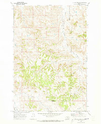
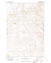
1969 Map of Miller Creek NW
USGS Topo · Published 1973About this map
Graveyard Creek and its namesake Graveyard Road anchor this 1969 topographic study of the Montana backcountry straddling the Rosebud and Custer County line. The landscape is defined by a dense network of watercourses, including Iron Creek, Hay Creek, and Sweeney Creek, which have carved deep drainages like Horton Hollow. This era of the late 1960s shows a land primarily utilized for resource access, where established routes transition into a Jeep Trail as they move further into the higher elevations. Small-scale infrastructure is represented by a Flowing Well and another isolated Well, indicating the critical importance of water management in these arid southeastern Montana uplands.
Find a feature on this map
11 named features on this map. Tap any name to fly to it.
Don’t see what you’re looking for? This feature index may not catch every label — zoom into the map to look around manually.
Map Details
Editions of this 1969 Miller Creek NW Map
This is the sole edition of this map. No revisions or reprints were ever made.
Other maps of this area

1954 · Forsyth
USGS Topo · 1:250,000

1957 · Forsyth
USGS Topo · 1:250,000

1958 · Forsyth
USGS Topo · 1:250,000

1968 · Hathaway
USGS Topo · 1:24,000

1968 · Horton
USGS Topo · 1:24,000

1968 · Thurlow
USGS Topo · 1:24,000
1969 · Moon Creek School
USGS Topo · 1:24,000
1969 · Miller Creek
USGS Topo · 1:24,000
1969 · Miller Creek SW
USGS Topo · 1:24,000
1971 · Indian Creek
USGS Topo · 1:24,000