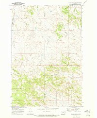
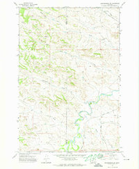
1969 Map of Miller Creek SW
USGS Topo · Published 1972About this map
Rosebud and Custer counties meet along a high divide in this 1969 topographical study, characterized by a complex drainage network flowing toward the Yellowstone river valley. The landscape is dominated by the prominent Baldy Butte, which serves as a central landmark amidst a series of branching waterways including Hay Creek, Graveyard Creek, and Sixmile Creek. The presence of several drill holes and wells across the terrain suggests active resource exploration during this era, while the Sweeney Creek Road provides the primary access route through the rugged coulees.
Find a feature on this map
17 named features on this map. Tap any name to fly to it.
Don’t see what you’re looking for? This feature index may not catch every label — zoom into the map to look around manually.
Map Details
Editions of this 1969 Miller Creek SW Map
This is the sole edition of this map. No revisions or reprints were ever made.
Other maps of this area

1954 · Hardin
USGS Topo · 1:250,000

1954 · Forsyth
USGS Topo · 1:250,000

1957 · Hardin
USGS Topo · 1:250,000

1957 · Forsyth
USGS Topo · 1:250,000

1958 · Forsyth
USGS Topo · 1:250,000

1958 · Hardin
USGS Topo · 1:250,000
1969 · Moon Creek School
USGS Topo · 1:24,000
1969 · Miller Creek
USGS Topo · 1:24,000
1969 · Miller Creek NW
USGS Topo · 1:24,000
1971 · Brandenberg NW
USGS Topo · 1:24,000