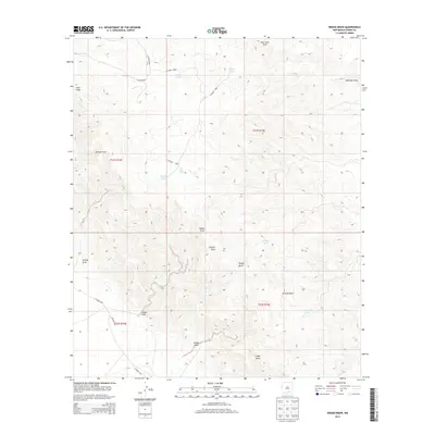
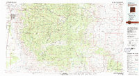
2013 Map of Indian Draw
USGS Topo · Published 2013About this map
Indian Draw snakes through this arid expanse of Otero County, defining a landscape where water management is the primary marker of human activity. The terrain is etched by numerous drainage courses including George Draw, Moccasin Draw, and Rough Draw, which serve as the lifeblood of the high desert ecosystem. Because surface water is scarce, the map reveals a network of man-made catchments vital for ranching and livestock, such as Munson Tank, Merritt Tank, and Smith Tank.
Find a feature on this map
25 named features on this map. Tap any name to fly to it.
Don’t see what you’re looking for? This feature index may not catch every label — zoom into the map to look around manually.
Map Details
Editions of this 2013 Indian Draw Map
This is the sole edition of this map. No revisions or reprints were ever made.
Other maps of this area

1954 · Carlsbad
USGS Topo · 1:250,000

1958 · Carlsbad
USGS Topo · 1:250,000
1963 · Cornucopia Canyon
USGS Topo · 1:24,000
1963 · Cornucopia Ranch SE
USGS Topo · 1:24,000
1963 · Indian Draw
USGS Topo · 1:24,000
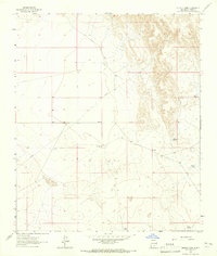
1963 · Cleones Tank
USGS Topo · 1:24,000
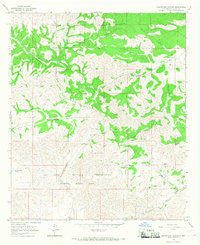
1965 · Surveyors Canyon
USGS Topo · 1:24,000
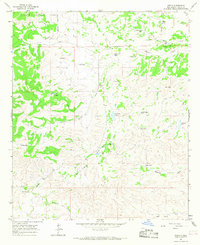
1965 · Pinon
USGS Topo · 1:24,000
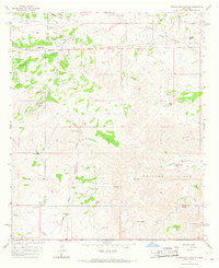
1965 · Cornucopia Canyon
USGS Topo · 1:24,000
1979 · Alamogordo
USGS Topo · 1:100,000