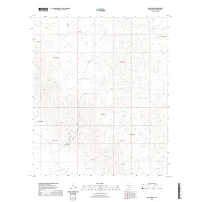
2020 Map of Indian Draw
USGS Topo · Published 2020About this map
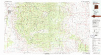
Indian Draw and a complex network of seasonal drainages define this arid section of Otero County, where water management is the primary marker of human activity on the land. In this high-desert environment, a series of essential water catchments like Munson Tank, Merrit Tank, and Smith Tank are strategically distributed across the landscape to support livestock. These features, along with Otto Tank and George Tank, provide evidence of the ranching infrastructure required to utilize these remote basins.
Find a feature on this map
30 named features on this map. Tap any name to fly to it.
Don’t see what you’re looking for? This feature index may not catch every label — zoom into the map to look around manually.
Map Details
Editions of this 2020 Indian Draw Map
This is the sole edition of this map. No revisions or reprints were ever made.
Other maps of this area

1954 · Carlsbad
USGS Topo · 1:250,000

1958 · Carlsbad
USGS Topo · 1:250,000
1963 · Cornucopia Canyon
USGS Topo · 1:24,000
1963 · Cornucopia Ranch SE
USGS Topo · 1:24,000
1963 · Indian Draw
USGS Topo · 1:24,000
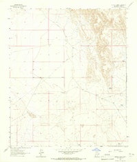
1963 · Cleones Tank
USGS Topo · 1:24,000
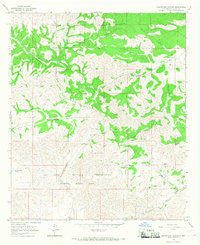
1965 · Surveyors Canyon
USGS Topo · 1:24,000
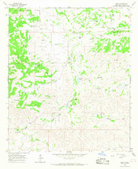
1965 · Pinon
USGS Topo · 1:24,000
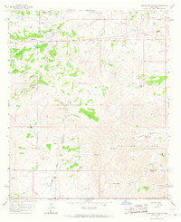
1965 · Cornucopia Canyon
USGS Topo · 1:24,000
1979 · Alamogordo
USGS Topo · 1:100,000