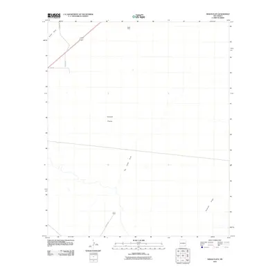
2010 Map of Indian Flats
USGS Topo · Published 2010About this map
Dublin Ranch serves as a primary marker of human activity in this corner of Eddy County, where the landscape is defined by vast natural depressions and desert drainage systems. The terrain transitions across the Indian Flats and rises toward the distinctive elevation of Quahada Ridge in the southeast. Ephemeral watercourses like Old Indian Draw and Fenton Draw snake through the arid environment, illustrating the natural drainage patterns of the Pecos River basin. A network of ranch and service roads, including the historically named Old Post Rd and Quahada Rd, provides access across the scrubland. This map documents the sparse but intentional infrastructure required to maintain ranching operations and resource management in the high desert of New Mexico at the start of the 21st century.
Find a feature on this map
11 named features on this map. Tap any name to fly to it.
Don’t see what you’re looking for? This feature index may not catch every label — zoom into the map to look around manually.
Map Details
Editions of this 2010 Indian Flats Map
This is the sole edition of this map. No revisions or reprints were ever made.
Other maps of this area
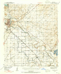
1939 · Carlsbad
USGS Topo · 1:62,500
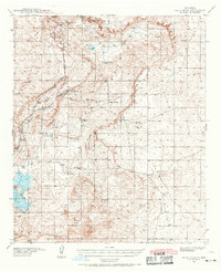
1939 · Nash Draw
USGS Topo · 1:62,500
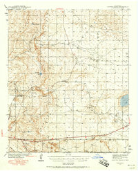
1942 · Clayton Basin
USGS Topo · 1:62,500
1943 · Carlsbad
USGS Topo · 1:62,500
1943 · Clayton Basin
USGS Topo · 1:62,500
1943 · Oil City
USGS Topo · 1:62,500
1943 · Nash Draw
USGS Topo · 1:62,500

1954 · Carlsbad
USGS Topo · 1:250,000

1954 · Hobbs
USGS Topo · 1:250,000

1958 · Carlsbad
USGS Topo · 1:250,000