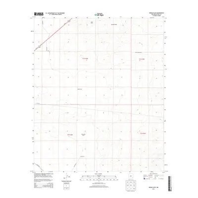
2013 Map of Indian Flats
USGS Topo · Published 2013About this map
Indian Flats characterizes this stretch of Eddy County, where the high desert landscape is defined by subtle elevation changes and ephemeral drainage patterns. The topography transitions from the elevated Quahada Ridge in the northeast toward the open expanses of the flats, punctuated by geological markers like Sand Point. This 2013 survey illustrates how modern infrastructure and historic land use coexist in the Permian Basin region, with high-speed travel along Us-62 contrasting against the slower network of ranching and utility routes. The presence of the Dublin Ranch in the southern portion of the quadrangle speaks to the region's enduring livestock heritage. Water management and natural runoff are evident through the winding path of Old Indian Draw, which serves as a primary drainage feature through the center of the survey area, while a network of rural routes including Old Post Rd and Quahada Rd connect these isolated landmarks across the arid terrain.
Find a feature on this map
17 named features on this map. Tap any name to fly to it.
Don’t see what you’re looking for? This feature index may not catch every label — zoom into the map to look around manually.
Map Details
Editions of this 2013 Indian Flats Map
This is the sole edition of this map. No revisions or reprints were ever made.
Other maps of this area
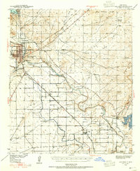
1939 · Carlsbad
USGS Topo · 1:62,500
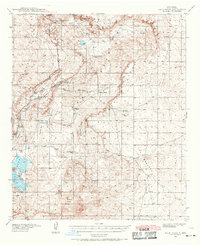
1939 · Nash Draw
USGS Topo · 1:62,500
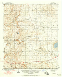
1942 · Clayton Basin
USGS Topo · 1:62,500
1943 · Carlsbad
USGS Topo · 1:62,500
1943 · Clayton Basin
USGS Topo · 1:62,500
1943 · Oil City
USGS Topo · 1:62,500
1943 · Nash Draw
USGS Topo · 1:62,500

1954 · Carlsbad
USGS Topo · 1:250,000

1954 · Hobbs
USGS Topo · 1:250,000

1958 · Carlsbad
USGS Topo · 1:250,000