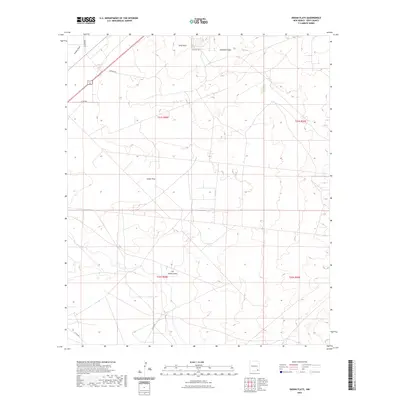
2023 Map of Indian Flats
USGS Topo · Published 2023About this map
Indian Flats dominates this portion of Eddy County, revealing a landscape defined by ephemeral watercourses and resource-oriented infrastructure. The terrain is marked by distinctive topographic features such as Quahada Ridge and Sand Point, while the natural drainage patterns of Fenton Draw and Old Indian Draw cut through the arid plains. A network of county roads, including Co Rd 603 and Co Rd 607, provides access to these remote reaches, reflecting the modern management of public and private lands in southeastern New Mexico. The presence of Landfill Rd and Magnum Rd suggests a landscape utilized for local utility and industry, even as the sprawling open flats maintain their character.
Find a feature on this map
14 named features on this map. Tap any name to fly to it.
Don’t see what you’re looking for? This feature index may not catch every label — zoom into the map to look around manually.
Map Details
Editions of this 2023 Indian Flats Map
This is the sole edition of this map. No revisions or reprints were ever made.
Other maps of this area

1939 · Carlsbad
USGS Topo · 1:62,500

1939 · Nash Draw
USGS Topo · 1:62,500

1942 · Clayton Basin
USGS Topo · 1:62,500

1943 · Carlsbad
USGS Topo · 1:62,500

1943 · Clayton Basin
USGS Topo · 1:62,500

1943 · Oil City
USGS Topo · 1:62,500

1943 · Nash Draw
USGS Topo · 1:62,500

1954 · Carlsbad
USGS Topo · 1:250,000

1954 · Hobbs
USGS Topo · 1:250,000

1958 · Carlsbad
USGS Topo · 1:250,000