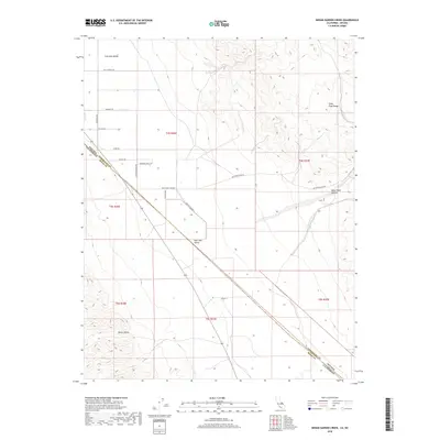
2018 Map of Indian Garden Creek
USGS Topo · Published 2018About this map
Fish Lake Valley serves as the central focal point of this arid landscape, where the high-altitude desert floor meets the rising elevations of the Silver Peak Range. This 2018 survey illustrates the complex border geometry where Esmeralda County, Nevada, meets Mono County, California. The settlement patterns here are defined by a network of rural routes such as Billy Wright Rd and Windmill Rd, which trace the alluvial fans and drainage basins of the region. Notable topographic features include the deep incision of White Wolf Canyon and the northern reaches of Owens Valley. Local history is embedded in the naming of private tracts and thoroughfares like Rancho Escondida and Swanger Circle Dr, indicating a modern era of dispersed ranching and rural residential development in this remote corner of the Great Basin.
Find a feature on this map
21 named features on this map. Tap any name to fly to it.
Don’t see what you’re looking for? This feature index may not catch every label — zoom into the map to look around manually.
Map Details
Editions of this 2018 Indian Garden Creek Map
This is the sole edition of this map. No revisions or reprints were ever made.
Other maps of this area
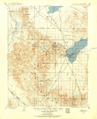
1898 · Silver Peak
USGS Topo · 1:125,000
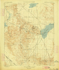
1900 · Silver Peak
USGS Topo · 1:125,000
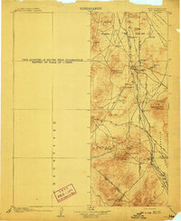
1908 · Lida
USGS Topo · 1:250,000
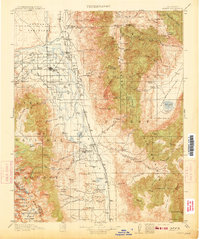
1913 · Bishop
USGS Topo · 1:125,000
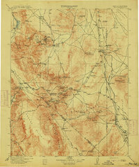
1913 · Lida
USGS Topo · 1:250,000
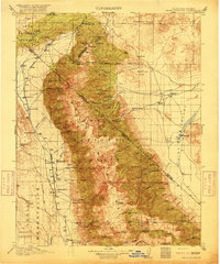
1917 · White Mountain
USGS Topo · 1:125,000

1947 · Mariposa
USGS Topo · 1:250,000

1948 · Mariposa
USGS Topo · 1:250,000
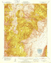
1951 · Blanco Mountain
USGS Topo · 1:62,500

1954 · Goldfield
USGS Topo · 1:250,000