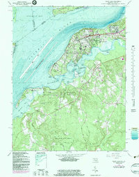
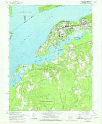
1966 Map of Indian Head
USGS Topo · Published 1983About this map
The U S Naval Propellant Plant dominates the peninsula between the Potomac River and Mattawoman Creek, a specialized military landscape supported by the U S Government RR. This 1960s-era geography reflects the Cold War industrial footprint on the Maryland shore, while established residential areas like Indian Head, Potomac Heights, and Riverview Village cluster north of the facility.
Find a feature on this map
63 named features on this map. Tap any name to fly to it.
Don’t see what you’re looking for? This feature index may not catch every label — zoom into the map to look around manually.
Map Details
Editions of this 1966 Indian Head Map
6 editions found
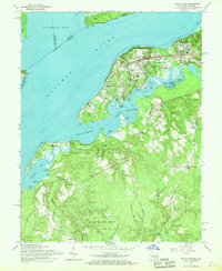
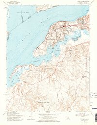
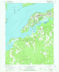
Other maps of this area

1889 · Fredericksburg
USGS Topo · 1:125,000

1890 · Mt. Vernon
USGS Topo · 1:125,000

1891 · Mt. Vernon
USGS Topo · 1:125,000

1892 · Fredericksburg
USGS Topo · 1:125,000

1894 · Fredericksburg
USGS Topo · 1:125,000

1894 · Mt. Vernon
USGS Topo · 1:125,000

1897 · Mt. Vernon
USGS Topo · 1:125,000

1913 · Indian Head
USGS Topo · 1:62,500

1913 · Nanjemoy
USGS Topo · 1:62,500

1923 · Indian Head
USGS Topo · 1:48,000