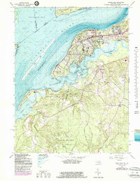
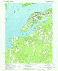
1966 Map of Indian Head
USGS Topo · Published 1987About this map
The U S Naval Propellant Plant dominates this stretch of the Potomac River, highlighting the mid-century industrial and military footprint on the Charles County shoreline. Surrounding this facility are the residential developments of Riverview Village, Potomac Heights, and Warington Hills, which supported the base's workforce. To the south, the landscape transitions into a more rural and historic character, featuring scattered settlements like Chicamuxen and Doncaster. This area is defined by its numerous necks and points, including Cornwallis Neck and Stump Neck, where the water-dependent history of the region is evident in landmarks like Grinders Wharf and Poseys Wharf.
Find a feature on this map
72 named features on this map. Tap any name to fly to it.
Don’t see what you’re looking for? This feature index may not catch every label — zoom into the map to look around manually.
Map Details
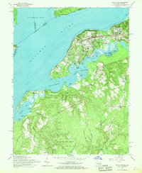
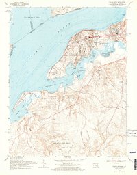
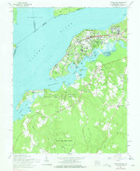
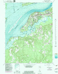
Editions of this 1966 Indian Head Map
6 editions found
Other maps of this area

1889 · Fredericksburg
USGS Topo · 1:125,000

1890 · Mt. Vernon
USGS Topo · 1:125,000

1891 · Mt. Vernon
USGS Topo · 1:125,000

1892 · Fredericksburg
USGS Topo · 1:125,000

1894 · Fredericksburg
USGS Topo · 1:125,000

1894 · Mt. Vernon
USGS Topo · 1:125,000

1897 · Mt. Vernon
USGS Topo · 1:125,000

1913 · Indian Head
USGS Topo · 1:62,500

1913 · Nanjemoy
USGS Topo · 1:62,500

1923 · Indian Head
USGS Topo · 1:48,000