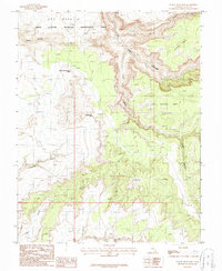
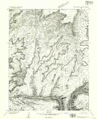
1987 Map of Indian Head Pass
USGS Topo · Published 1987About this map
Glen Canyon National Recreation Area dominates this high-altitude landscape, where the plateau of Dry Mesa gives way to a complex network of eroded drainage systems. The map captures a moment in the late 1980s when this portion of San Juan County remained largely undeveloped, characterized by massive topographical features like Dark Canyon and the vertical relief of Lean-To Point. Localized activity is evidenced by scattered prospects and a single prospect site in the southern reaches, hinting at mineral exploration in the canyonlands.
Find a feature on this map
15 named features on this map. Tap any name to fly to it.
Don’t see what you’re looking for? This feature index may not catch every label — zoom into the map to look around manually.
Map Details
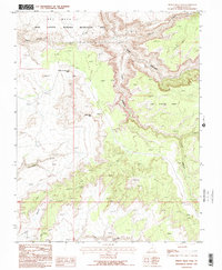
Editions of this 1987 Indian Head Pass Map
2 editions found
Other maps of this area

1886 · Henry Mountains
USGS Topo · 1:250,000

1892 · Henry Mountains
USGS Topo · 1:250,000

1952 · Mouth of Dark Canyon
USGS Topo · 1:62,500

1952 · Mancos Mesa
USGS Topo · 1:62,500

1952 · Natural Bridges
USGS Topo · 1:62,500

1952 · Hite
USGS Topo · 1:62,500
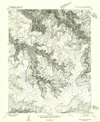
1954 · White Canyon 1 NE
USGS Topo · 1:24,000

1954 · White Canyon 4 NE
USGS Topo · 1:24,000
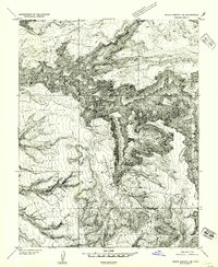
1954 · White Canyon 1 SE
USGS Topo · 1:24,000
1954 · White Canyon 2 NE
USGS Topo · 1:24,000