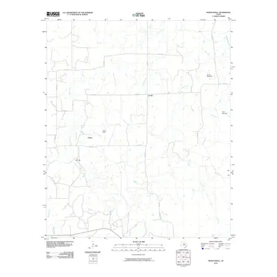
2010 Map of Indian Knoll
USGS Topo · Published 2010About this map
Eureka and Dothan anchor this section of Stephens County, where the landscape is defined by the drainage network of Battle Creek and Pecan Creek. The terrain is characterized by modest but distinct rises such as Brown Mountain and Gray Mountain, alongside the namesake Indian Knoll. This 2010 survey reflects a rural Texas environment where historical settlements like Red Gap persist as landmarks within a grid of county and farm-to-market roads. The drainage pattern is intricate, with Jacks Branch, Board Branch, and Long Run carving the earth between the primary waterways. The map preserves the late-20th-century road infrastructure, including FM 1853 and FM 2408, which facilitate movement between these scattered communities and the surrounding ranchlands.
Find a feature on this map
23 named features on this map. Tap any name to fly to it.
Don’t see what you’re looking for? This feature index may not catch every label — zoom into the map to look around manually.
Map Details
Editions of this 2010 Indian Knoll Map
This is the sole edition of this map. No revisions or reprints were ever made.
Other maps of this area

1890 · Breckenridge
USGS Topo · 1:125,000

1892 · Albany
USGS Topo · 1:125,000

1893 · Albany
USGS Topo · 1:125,000

1894 · Eastland
USGS Topo · 1:125,000

1931 · Baird
USGS Topo · 1:125,000

1932 · Baird
USGS Topo · 1:125,000

1954 · Abilene
USGS Topo · 1:250,000

1958 · Abilene
USGS Topo · 1:250,000

1961 · Buck Mountain
USGS Topo · 1:24,000

1961 · Eolian
USGS Topo · 1:24,000