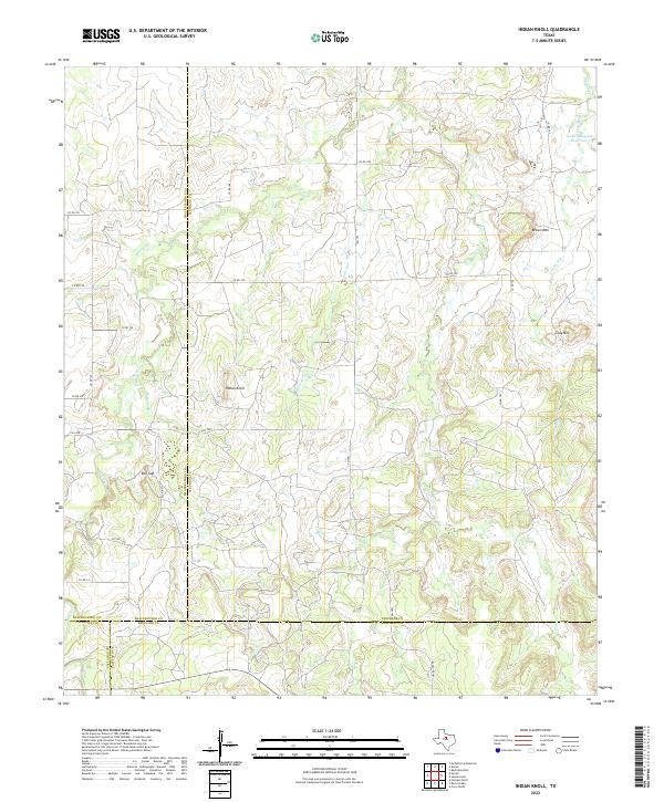
2022 Map of Indian Knoll
USGS Topo · Published 2022About this map
Indian Knoll rises as a central landmark in this West Texas landscape where the boundaries of Stephens, Shackelford, Eastland, and Callahan counties converge. The terrain is defined by a dendritic network of seasonal drainages, including Battle Cr and Pecan Cr, which carve through the limestone-capped ridges. Near the settlement of Red Gap, the local road system follows the natural contours and property lines of the ranchlands. Industrial influence appears in the northeast corner at the Texas Company Reservoir, situated along Long Run. Notable elevations like Brown Mtn and Gray Mtn provide orientation points in a region dominated by cattle ranching and occasional oil-related water management. The mapping of small tributaries such as Board Br and Jacks Br illustrates the essential role of water drainage in this semi-arid environment.
Find a feature on this map
29 named features on this map. Tap any name to fly to it.
Don’t see what you’re looking for? This feature index may not catch every label — zoom into the map to look around manually.
Map Details
Editions of this 2022 Indian Knoll Map
This is the sole edition of this map. No revisions or reprints were ever made.
Other maps of this area

1890 · Breckenridge
USGS Topo · 1:125,000

1892 · Albany
USGS Topo · 1:125,000

1893 · Albany
USGS Topo · 1:125,000

1894 · Eastland
USGS Topo · 1:125,000

1931 · Baird
USGS Topo · 1:125,000

1932 · Baird
USGS Topo · 1:125,000

1954 · Abilene
USGS Topo · 1:250,000

1958 · Abilene
USGS Topo · 1:250,000

1961 · Buck Mountain
USGS Topo · 1:24,000

1961 · Eolian
USGS Topo · 1:24,000