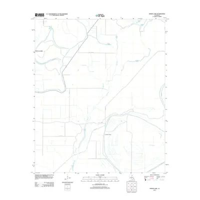
2012 Map of Indian Lake
USGS Topo · Published 2012About this map
The low-lying bottomlands of Madison Parish are defined here by the winding course of Bayou Macon and the Tensas River. At the time of this 2012 survey, the landscape is a network of active water management and river engineering, evidenced by the sharp turns of Bakers Cut-off and the presence of the Low Water Bridge crossing the river. Settlement is concentrated at historic river access points like Jackson Landing and Butler Landing, reflecting the area's long-standing connection to these waterways.
Find a feature on this map
24 named features on this map. Tap any name to fly to it.
Don’t see what you’re looking for? This feature index may not catch every label — zoom into the map to look around manually.
Map Details
Editions of this 2012 Indian Lake Map
This is the sole edition of this map. No revisions or reprints were ever made.
Other maps of this area

1935 · Winnsboro
USGS Topo · 1:62,500

1935 · Baskinton
USGS Topo · 1:62,500

1935 · Waverly
USGS Topo · 1:62,500

1935 · Shackleford Lake
USGS Topo · 1:62,500

1955 · Jackson
USGS Topo · 1:250,000

1958 · Baskinton
USGS Topo · 1:62,500

1958 · Shackleford Lake
USGS Topo · 1:62,500

1958 · Winnsboro
USGS Topo · 1:62,500

1961 · Jackson
USGS Topo · 1:250,000

1961 · Waverly
USGS Topo · 1:62,500