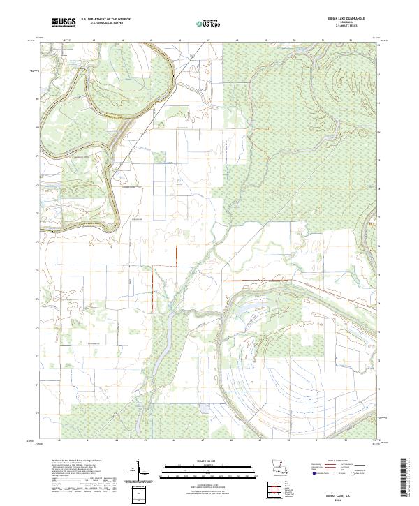
2024 Map of Indian Lake
USGS Topo · Published 2024About this map
Tensas River National Wildlife Refuge dominates the eastern half of this landscape, preserving a massive tract of bottomland hardwood forest characteristic of the Mississippi Delta region. The boundary between Franklin and Madison Parishes follows the wandering course of Bayou Macon, a significant waterway that defines the local geography alongside the Tensas River. The terrain is shaped by an intricate network of secondary bayous and oxbow-related features, including Bakers Cut-off, Dry Bayou, and Chain Lake. Human presence is represented by the riverfront site at Butler Landing and a grid of local roads like Smith Bible Rd and Pilgreen Vail Rd that serve the agricultural and conservation lands. The map illustrates a complex drainage system where small waterways like Lick Bayou and Silt Bayou crisscross the low-lying basin.
Find a feature on this map
37 named features on this map. Tap any name to fly to it.
Don’t see what you’re looking for? This feature index may not catch every label — zoom into the map to look around manually.
Map Details
Editions of this 2024 Indian Lake Map
This is the sole edition of this map. No revisions or reprints were ever made.
Other maps of this area

1935 · Winnsboro
USGS Topo · 1:62,500

1935 · Baskinton
USGS Topo · 1:62,500

1935 · Waverly
USGS Topo · 1:62,500

1935 · Shackleford Lake
USGS Topo · 1:62,500

1955 · Jackson
USGS Topo · 1:250,000

1958 · Baskinton
USGS Topo · 1:62,500

1958 · Shackleford Lake
USGS Topo · 1:62,500

1958 · Winnsboro
USGS Topo · 1:62,500

1961 · Jackson
USGS Topo · 1:250,000

1961 · Waverly
USGS Topo · 1:62,500