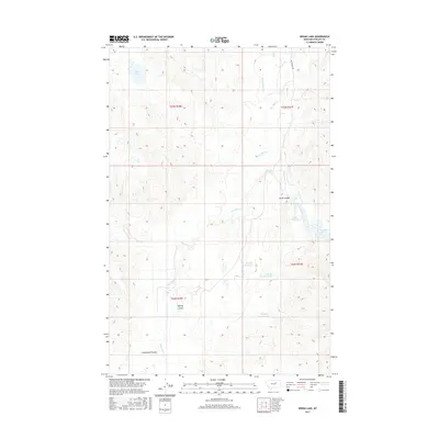
2017 Map of Indian Lake
USGS Topo · Published 2017About this map
Indian Lake sits at the northwestern edge of this Phillips County landscape, a terrain defined by the complex drainage patterns of the Missouri River breaks. The topography is deeply incised by multiple coulees, including Jones Coulee, Mickey Coulee, and Cottonwood Coulee, which channel runoff toward the eastern edge of the map. This area represents the high prairie transition to the Fort Peck Lake reservoir system, evidenced by the presence of Jones Reservoir and Fowler Reservoir. Land management and ranching operations are visible through the inclusion of Martin Retaining Pit and Halfway Retaining Pit, likely used for water storage in this arid environment. Transportation is sparse, anchored primarily by Sun Prairie Rd, which provides access through the expansive sections of T23N and T22N.
Find a feature on this map
18 named features on this map. Tap any name to fly to it.
Don’t see what you’re looking for? This feature index may not catch every label — zoom into the map to look around manually.
Map Details
Editions of this 2017 Indian Lake Map
This is the sole edition of this map. No revisions or reprints were ever made.
Other maps of this area
1954 · Jordan
USGS Topo · 1:250,000
1956 · Jordan
USGS Topo · 1:250,000
1958 · Jordan
USGS Topo · 1:250,000
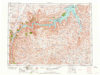
1964 · Jordan
USGS Topo · 1:250,000
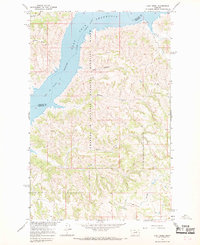
1965 · Lost Creek
USGS Topo · 1:24,000
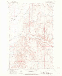
1965 · Sun Prairie
USGS Topo · 1:24,000
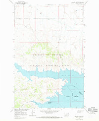
1965 · Herman Point
USGS Topo · 1:24,000
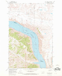
1965 · Locke Ranch
USGS Topo · 1:24,000
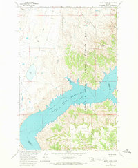
1965 · Mickey Butte
USGS Topo · 1:24,000
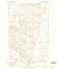
1965 · Stratton Reservoir
USGS Topo · 1:24,000