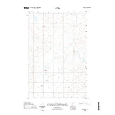
2020 Map of Indian Lake
USGS Topo · Published 2020About this map
Indian Lake sits at the northwestern edge of this Phillips County landscape, a region defined by complex drainage patterns and water management features. The terrain is marked by prominent natural coulees, including Cottonwood Coulee, Mickey Coulee, and Jones Coulee, which channel seasonal runoff toward the larger creek systems. Water control is a primary feature of the local geography, evidenced by the Fowler Reservoir and Jones Reservoir, alongside industrial markers like the Martin Retaining Pit and Halfway Retaining Pit. To the east, the map reaches the shoreline of Fort Peck Lake, where the intricate network of Fourchette Cr and Telegraph Cr eventually terminates. This 2020 survey illustrates the remote character of north-central Montana, where infrastructure is limited to routes like Sun Prairie Rd and the township and range lines that grid the open plains.
Find a feature on this map
19 named features on this map. Tap any name to fly to it.
Don’t see what you’re looking for? This feature index may not catch every label — zoom into the map to look around manually.
Map Details
Editions of this 2020 Indian Lake Map
This is the sole edition of this map. No revisions or reprints were ever made.
Other maps of this area
1954 · Jordan
USGS Topo · 1:250,000
1956 · Jordan
USGS Topo · 1:250,000
1958 · Jordan
USGS Topo · 1:250,000
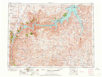
1964 · Jordan
USGS Topo · 1:250,000
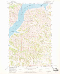
1965 · Lost Creek
USGS Topo · 1:24,000
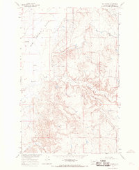
1965 · Sun Prairie
USGS Topo · 1:24,000
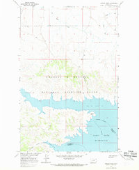
1965 · Herman Point
USGS Topo · 1:24,000
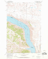
1965 · Locke Ranch
USGS Topo · 1:24,000
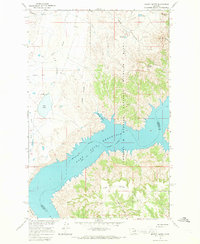
1965 · Mickey Butte
USGS Topo · 1:24,000
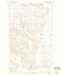
1965 · Stratton Reservoir
USGS Topo · 1:24,000